|
March
21st - We all met at the golf course on a
Wednesday at around 3:00 p.m. and drove to Rock
Creek Campground just outside of Erwin. From
there we set out on Rock Creek Falls Trail (Cherokee
Nat. Forest trail #148), which the blue-blazed trail
head is near the top-end of the campground.
This is a moderate climb which is very pretty and
follows the creek almost the entire distance.
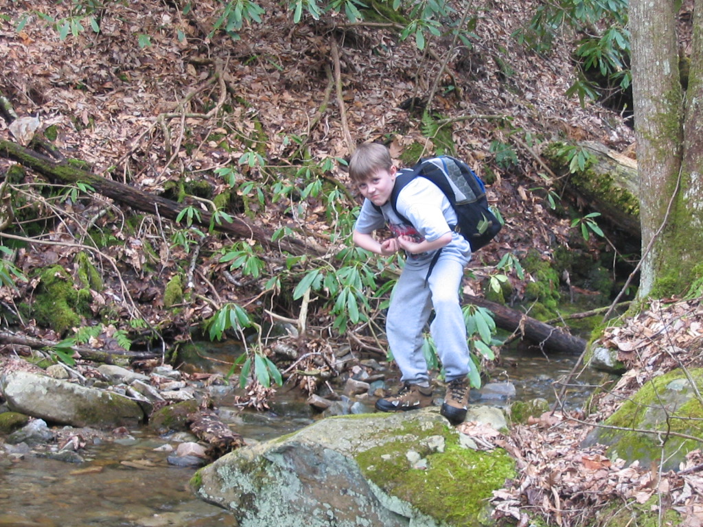
There are also four creek crossings on the way up
(so 8 total crossings) that can be somewhat
difficult (if you don't want to get wet).
Total elevation gain was 1100 feet (2300 at
campground and 3400 at the upper falls).
Shannon and I carried our backpacks full of gear
just for the exercise.
(Click
all images for larger photos)
|
|
|
 |

|
|
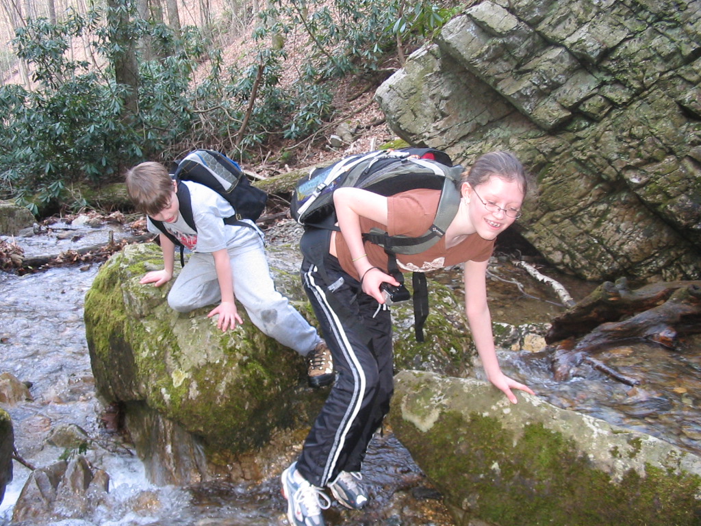
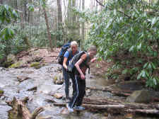
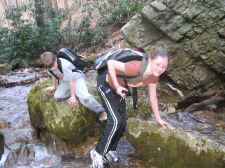
Shannon
and Taylor Ford Rock Creek
on
the Way Up |
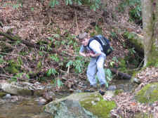
Look
Out Bear Grylls... There's a New Kid on the Block! |
Young
Possum |
|
|
|
|
We
stopped after about 1.5 miles of ascending and had
some snacks before continuing up the trail. We
soon arrived at the first set of falls, Lower Rock
Creek Falls, but realized you had to climb down into
the ravine to take a closer look, so we decided to
head on up the trail and explore these lower falls
on our way out.
|
 |
 |
 |
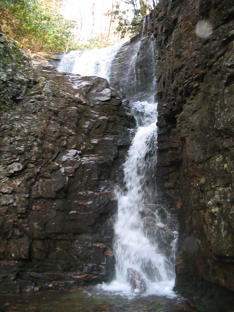
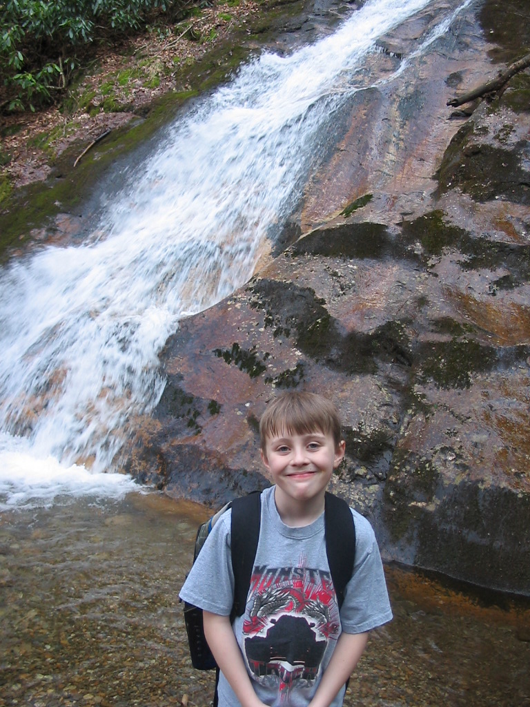
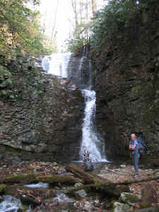
| Beautiful
Rock Creek Falls (Upper) |
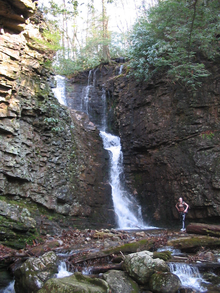
Shannon,
Tay, and Cam at the Falls |
Taylor |
| |
|
|
|
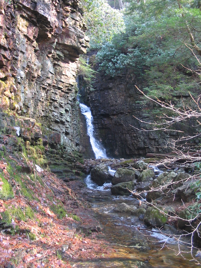
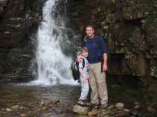
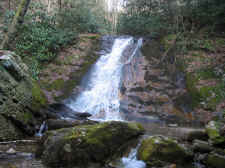
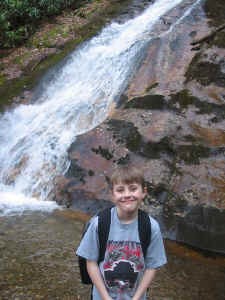
After
about another .2 mile past the lower falls we
arrived at our destination, upper Rock Creek Falls
(this is where the trail ends). These falls
are very impressive, and drop about 50 feet total
over two tiers of steep cliffs. We stayed for
quite some time here... exploring a little further,
enjoying the views, and taking some photos.
|
|
 |
 |
 |
|
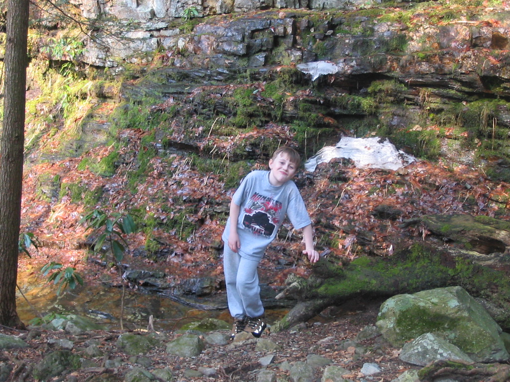
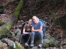
Tay
and Shannon Take a Rest Before Our Descent |
Bill
and Campbell |
Taylor
Crosses a Fallen Tree Near the Falls |
|
|
|
|
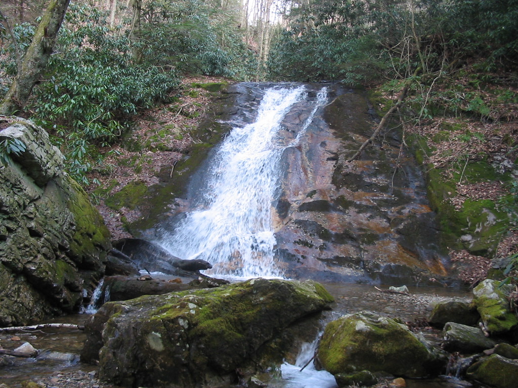
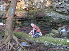
On
our way down the mountain we climbed down into the
ravine at the lower falls, where we took some more
photos. These falls are about a 30 foot drop
down a smooth rock face.
|
|
 |
|
|
A
View of the Upper Falls From a Litte Further Up the
Ridge |
|
|
|
|
Lower Rock
Creek Falls |
 |
Tay and Cam
Navigate the Creek to Get Some Photos of the
Lower Falls |
|
Campbell
at the Lower Falls |
|
|
|
|
|
This
turned out to be a great afternoon hike. We
had to park at the lower end of the campground
(access roads were closed) so this added some
mileage to our hike. We figured our total
round trip was about 4.5 miles. We did have a
minor injury... Campbell slipped on a rock while
crossing the creek on the way down, and woke up the
next day with a strained foot. He has since
healed up quickly. It's tough being a mountain
man! |
|
|
|
|
Topo
Map of Rock Creek Falls |
| . |
|
HOME |
|