HOME

TRAIL LOGS THE A.T. SUMMITS WATERFALLS 2007 GOALS CONTACT US
  .        
  Devil's Fork Gap to Nolichucky River
           

April 27th - April 29th   


DAY #1 - 12 Miles Hiked 


Shannon and I left our car at Uncle Johnny's Hostel at the Chestoa Bridge in Erwin, and Ms. Charlotte shuttled us up to the Devil's Fork Gap (elevation 3110') to begin our 3-day backpacking trip.  We started at 9:45 in the morning, and the weather was cloudy and a little chilly at times, but we still had some nice views as we crossed Sugarloaf Mountain and Divide Mountain.  By mid-day we reached I-26 at Sam's Gap, and continued our trek up to the Bald Mountains.


At about 5:00 we came across a very nice spring in a level gap (I think called Low Gap) somewhere between Street Gap and Big Bald, so we decided to stop for the night.  This was a perfect spot to camp as we pitched our tent in a small depression, which helped to keep us out of the wind during the night.  We built a big fire, cooked noodles with cheese and summer sausage, made coffee, and played Yahtzee (Shannon won) before going to sleep.


(Click all images for larger photos)


hiking 001.jpg (528610 bytes)

hiking 002.jpg (172487 bytes)

hiking 004.jpg (206675 bytes)

Small Falls Near the Beginning of the Hike

Wonderful Views from Divide Mountain Looking Toward I-26 and the Bald Mtns.

View of Big Bald on grassy Stamp Ridge Near Street Gap

hiking 007.jpg (656888 bytes) hiking 008.jpg (460524 bytes)
Day #1 Campsite Shannon Cooking Dinner

DAY #2 - 15 miles Hiked

After 
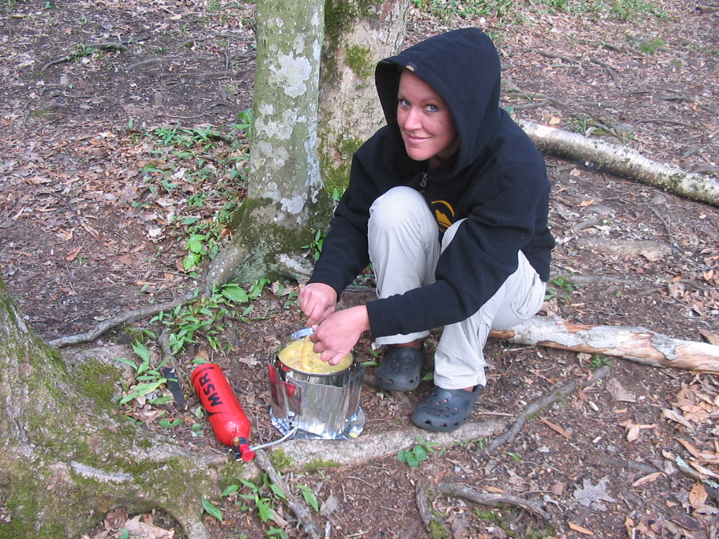
a breakfast of Quinoa and raisins, we packed up our gear and were back on the trail at 8:50 a.m. and set out to make our ascent on Big Bald... the grand 
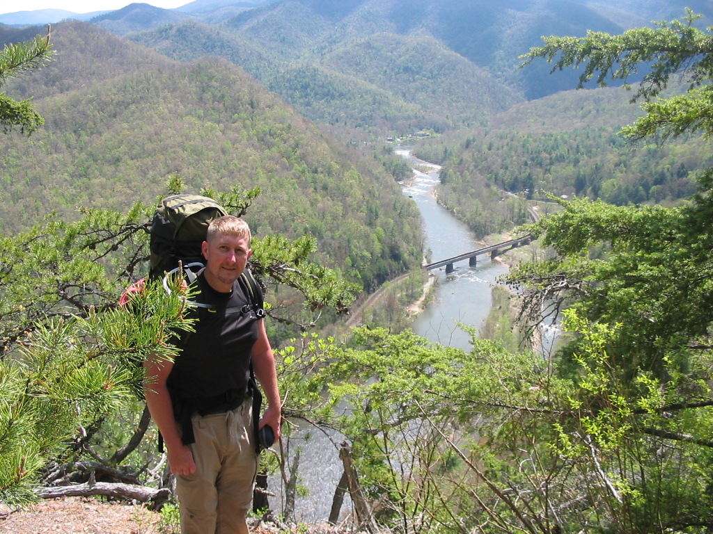
pinnacle of our trip.  Big Bald was a nice 
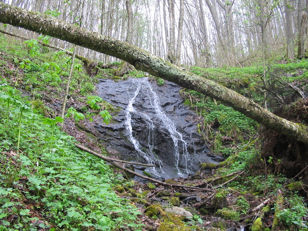
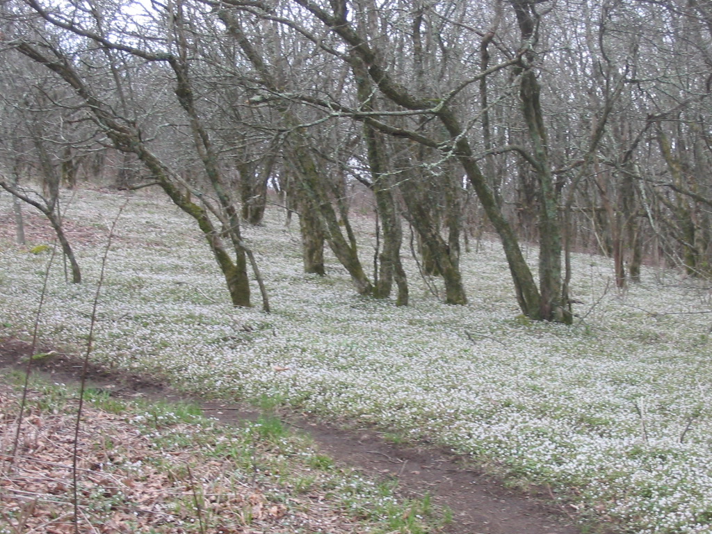
climb... we crossed many springs, rock outcroppings, 
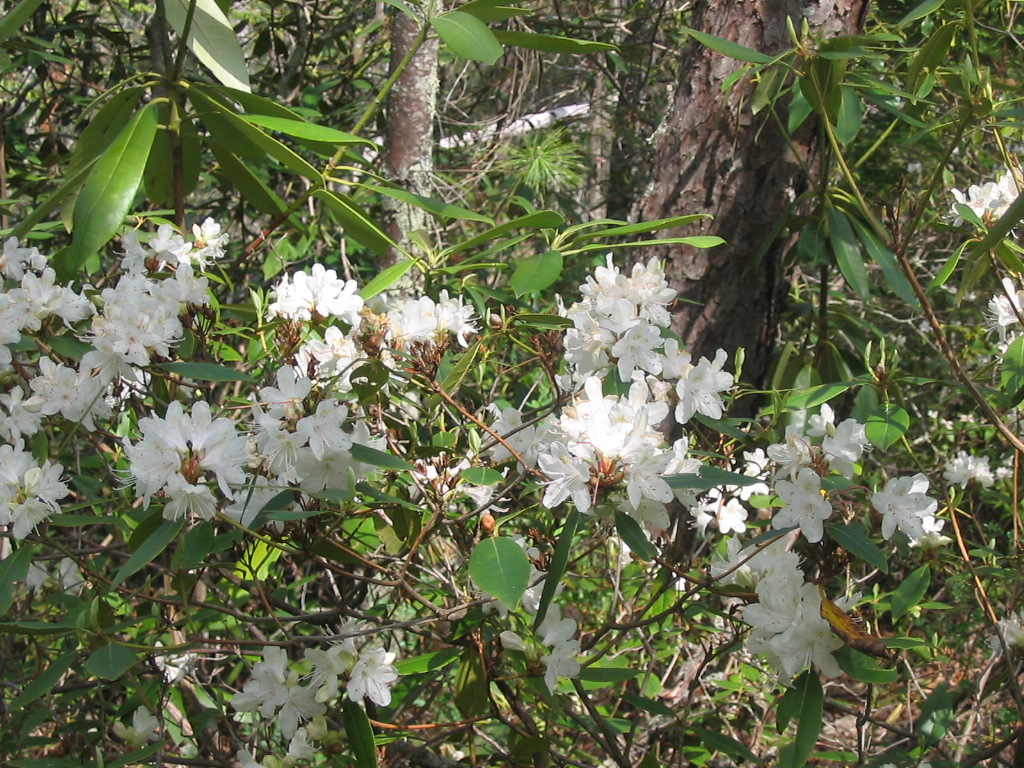
and wildflower fields along the way.  White Phacelia was in bloom near the summit and looked like snow.  We also saw lots of Trillium and Larkspur in bloom.  

When 
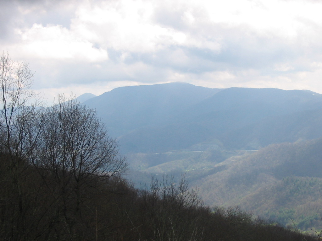
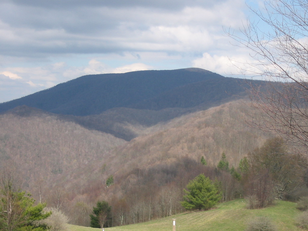
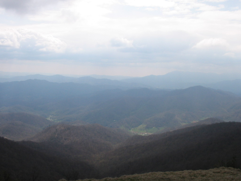
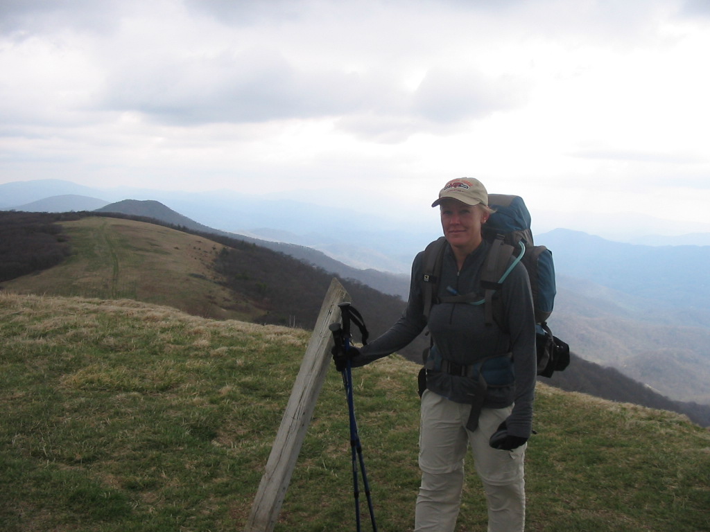
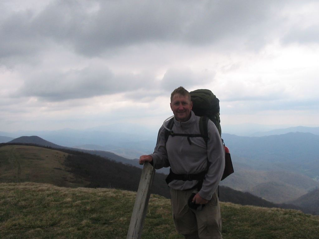
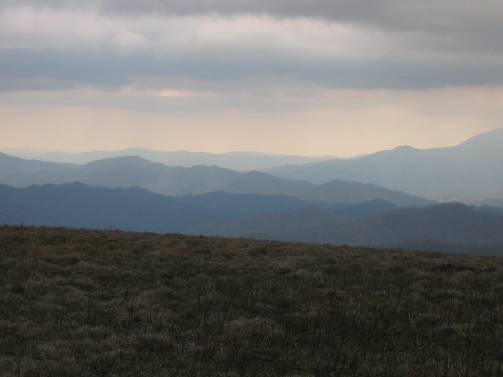
we arrived at the summit (elevation 5516') it was very windy and cold.  I would guess the wind chill to be in the 20's.  It was a little overcast too, so the views were not as clear as I was hoping for, but they were spectacular 
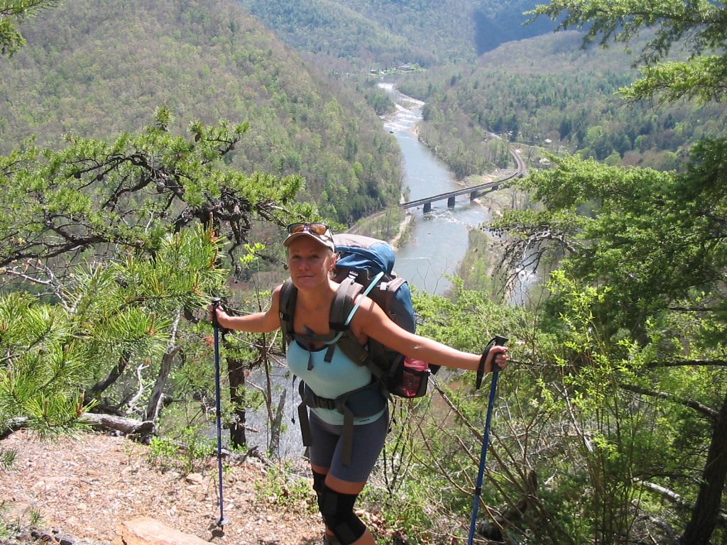
nevertheless.  Shannon and I stopped at the summit briefly to take a few photos.

Following 
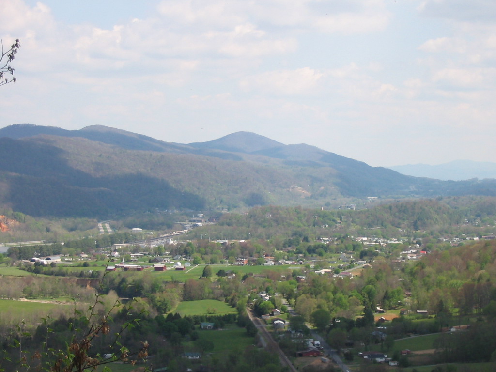
our summit we made our way across Big Stamp, then down into the gap to Bald Mountain Shelter.  Soon after that it began to rain, so we stopped to put on our rain gear.  I suppose we wore our rain gear for the next five miles.  We crossed Little Bald and High Rocks in the rain and fog so we didn't see much other than the trail.  After High Rocks, the sun came out for good, and we shed some clothes to descend down to Spivey Gap.        

After crossing Spivey Gap we refilled our water supply at Ogelsby Branch and made a hard climb up No Business Knob toward Devil's Creek Gap.  We were both tired and sore, and looking for the nearest campsite, but it soon became evident that we would need to get to No Business Shelter before we'd have a decent site.  After 15.3 miles we finally made it.  

There were 6 or 7 other hikers at the shelter, but we were both so tired that we didn't socialize much.  
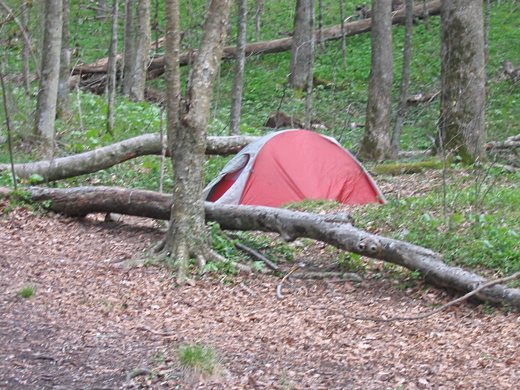
We set up our tent about 50 yards from the shelter, made a small fire, and cooked the best noodles with spaghetti sauce that I've ever had in my life.   We retired soon after dark, and I slept like a baby.

hiking 011.jpg (416382 bytes) hiking 012.jpg (117542 bytes) hiking 016.jpg (174518 bytes)
Fringed Phacelia Wildflowers Almost Looked Like Snow Near the Summit of Big Bald Majestic Views from the Summit of Big Bald Shannon at the Summit of Big Bald... Elevation 5516 Feet
hiking 017.jpg (143881 bytes) hiking 019.jpg (140108 bytes)
Bill at the Summit in Very Windy Conditions Looking Toward the Black Mountains from Big Stamp

DAY #3 - 6 Miles Hiked

We awoke on Sunday morning to sunny, clear skies, and with less than 6 miles to go we didn't get in a hurry to get moving.  We laid in the tent with the door open for a while and just looked at the sky and talked, and then got up and made more Quinoa and coffee for breakfast.  It was about 9:30 by the time we were packed up and hit the trail again.

We were both feeling very good so we made quick time on this last leg.  We went through Temple Gap, and made the climb up Temple Hill easily.  Our final photos show our descent off the mountain into the Nolichucky Gorge.  The views overlooking the river from the cliffs were really nice.  We made it back to the river and Johnny's Hostel just a few minutes after noon to finish our trip.   

hiking 027.jpg (415973 bytes) hiking 030.jpg (480733 bytes) hiking 031.jpg (428364 bytes)
Rhododendrons in Bloom   Shannon Overlooking the Nolichucky River Bill at the Nolichucky Cliffs... Almost at Our Destination

hiking 035.jpg (187300 bytes)

Overlooking Erwin with a View of Buffalo Mountain (Peak in Center of Photo)

HOME