|
October
2nd - I set out at about 1:15 p.m. to summit
Holston High Point, the highest elevation in
Sullivan County Tennessee at 4280 feet. I
began my ascent at the Hinkle Branch trailhead parking area in Stoney Creek (elevation 1950').
First
let me say that if anyone wishes to use the
following route to climb Holston be aware that the
trails in this area are somewhat confusing, and did not match
up to my topo maps. For instance, my map
calls Trail #2023 (in the lower section of the
mountain) "Rye Patch", but the actual
signage along the trail calls it "Bear Wallow".
This happened again at a later point when the trail
on the topo map was supposed to be called "Furnace
Branch", but it was called "Griffith Branch" on the
signage. This can be confusing at some points.
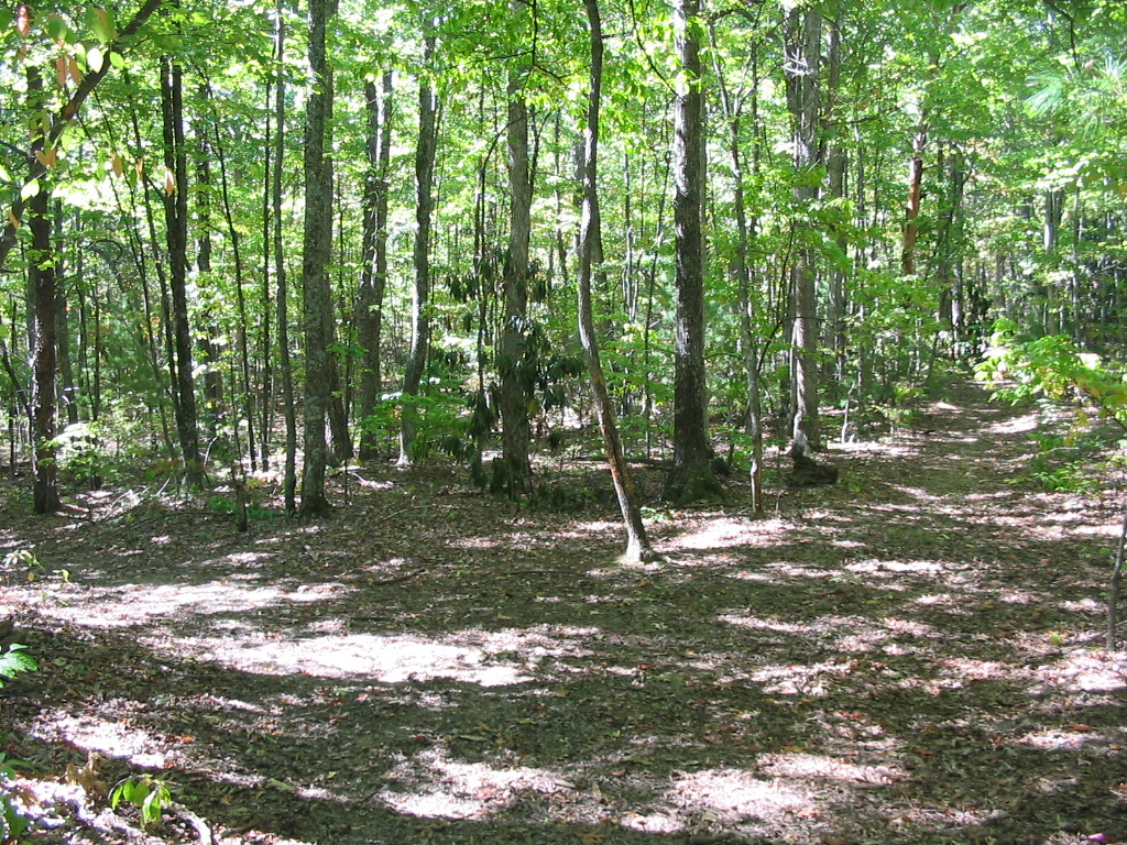
Anyway, from the parking area I soon found Trail
#2023 (Bear Wallow on the sign), and I followed this
for approximately three miles as it traversed up the
ridgeline to the left of Hinkle Branch. I then
ran into an "intersection" and left Bear Wallow
Trail for Trail #2026 (Griffith Branch on the sign).
This was a level roadbed for about a half mile, but
it eventually veered off the road onto a dirt trail,
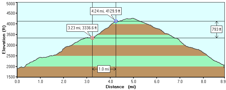
and made a sharp rise toward the summit. This
ascent was a tough section of the trail as
it rose about 800 feet in a mile, making it average over
a 15% grade for a solid mile of climbing (see hike profile image below).
After
approximately 4.5 miles into my hike I came upon an
opening in the forest and saw the first of many
radio and TV towers scattered near the summit.
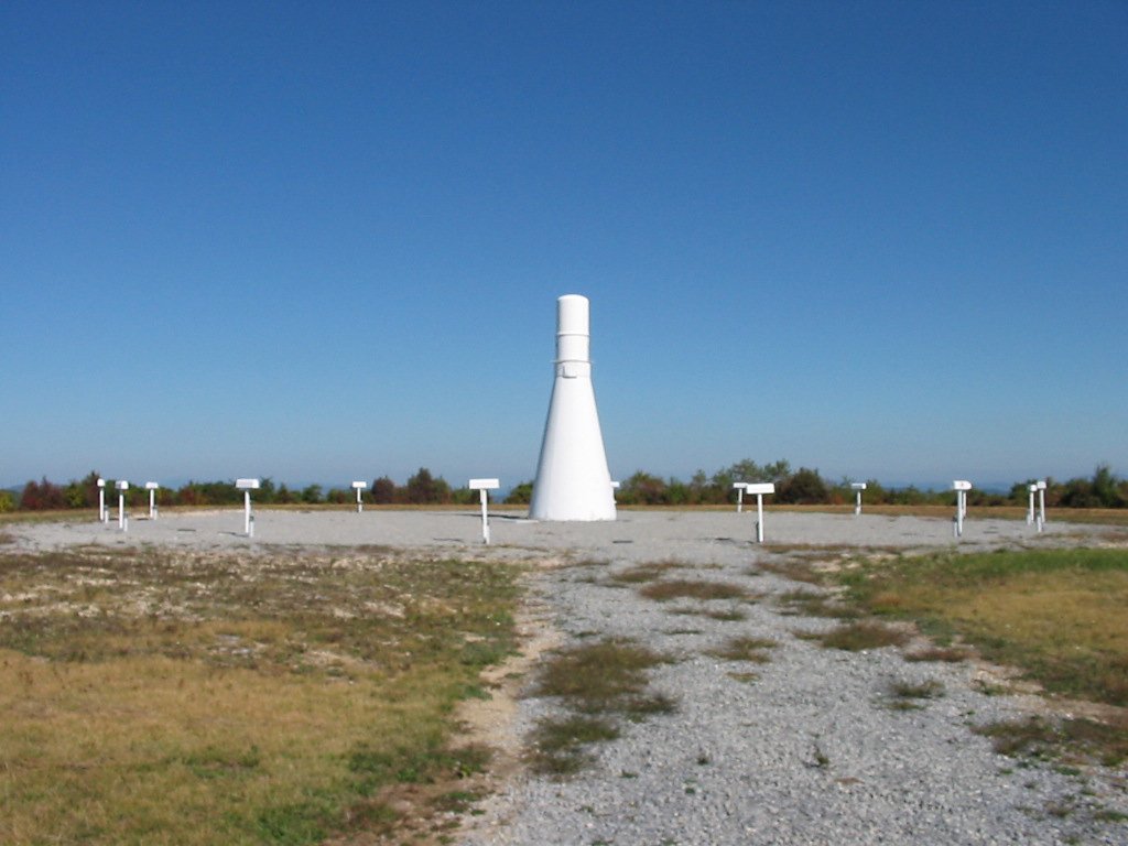
At this point I knew I was getting close. From
there I went off trail and took the service road to
the east for another .5 until I found the true
summit, which is where an FAA aircraft navigational
beacon is located. Holston High Point is
supposed to have two summits in close proximity at
4280 feet, but the peak at the FAA site is obviously
the highest (also shown by my GPS in the profile below).
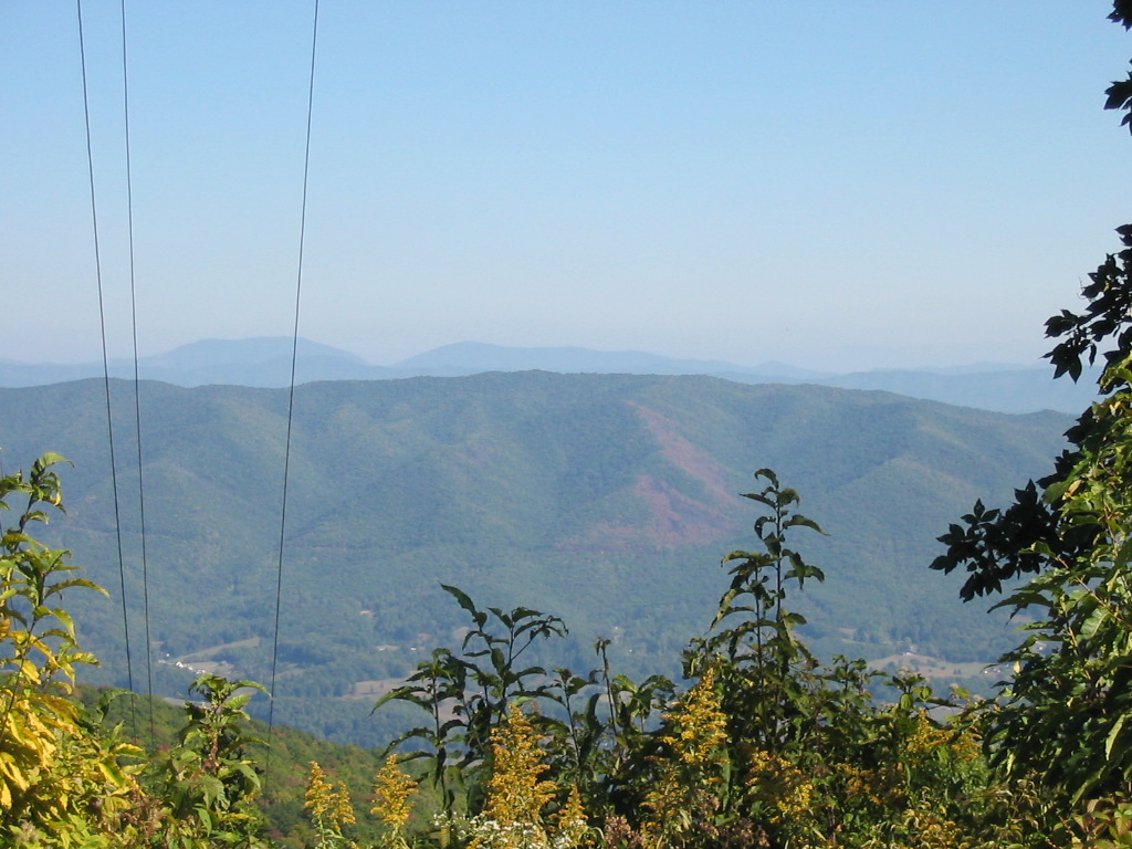
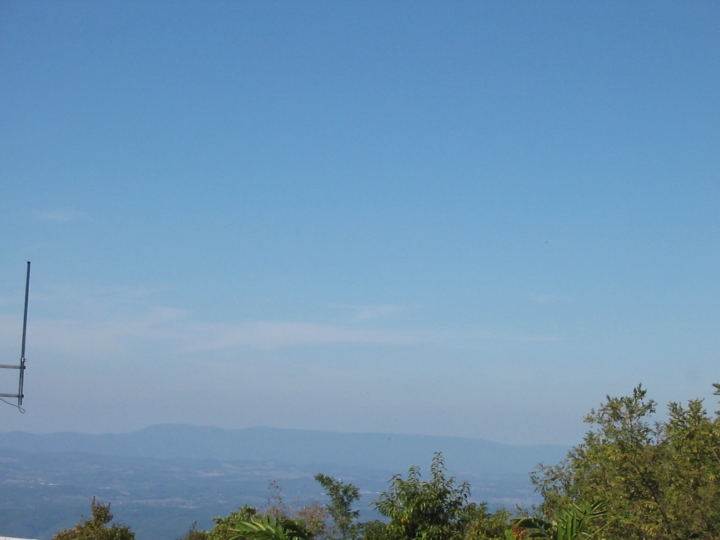
I
explored the summit for a few minutes and had
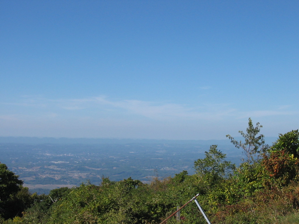
wonderful views especially toward Virginia and the
Clinch Mountains, and also looking south toward Iron
Mountain and Roan Mountain. I took a few
photos and soon began my descent.
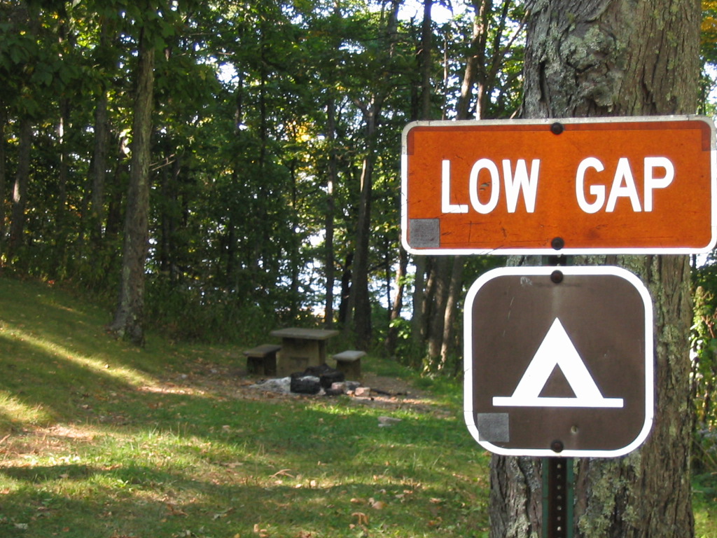
I kept
following the service road until I reached the Low
Gap Campground at about 4000 feet. I stopped
there to rest at a picnic table, and then took the
Low Gap Trail #2024 all the way back down to my car
(note: the Low Gap Trail turns back into Hinkle
Branch trail about half way down the mountain even
though the map only refers to it as Low Gap).
I did experience my first fall of 2007 as I stumbled
on a root as I was moving fast on the way down, but I
had no injuries other than a couple of scrapes.
Overall, this was a very tough climb as I ascended over
2300 in elevation gain in the 5 miles to the summit.
My complete hike was a total of 9.6 miles.
(Click
all images for larger photos)
|