|
November
4th - I began my Overmountain Victory Trail
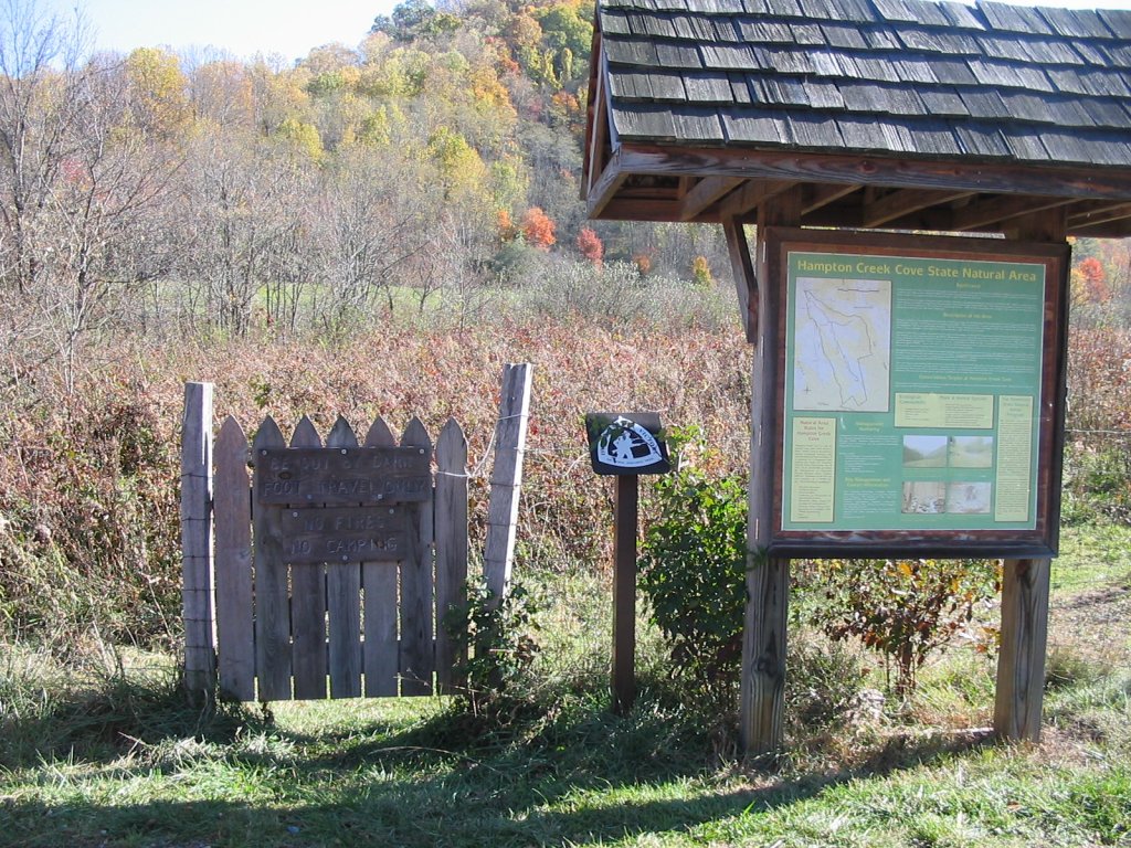
hike at the Hampton Creek State Natural Area parking
lot and trailhead. To get there take Highway
143 in Roan Mountain like you're going to the State
Park, but before you get to the park, take a left on
Old 143, then take the first right onto Hampton
Creek Road. After about three miles or so, the
parking area will be immediately on your left.
Let me
first give the history of this trail...
The Overmountain Men were a group of about 1000
(mostly untrained and un-uniformed) American
militiamen in the Revolutionary War that gathered at
Sycamore Shoals (then called Fort Watauga) in Elizabethton
in
1780. These men
banned together and marched across the Roan
Highlands through Yellow Mountain Gap on their way
to Kings Mountain, South Carolina. Eventually,
they made it to the Kings Mountain battle and in one
hour and five minutes they totally defeated the British's
American Tory army in what is known as the prominent
turning point in the Revolutionary War. The
path that I took today, is the same one that these
men took over 225 years ago.
Okay,
if you are referring to the National Geographic topo
map when looking at the this area, it's wrong.
You can no longer take the road into the Natural
Area as shown on the map (at least there are signs
posted that say not to). The parking lot and
trailhead is right next to Hampton Creek Road.
This is adds quite a bit of mileage to the hike.
My map calls this a 1.5 mile hike to Yellow Mountain
Gap, but it was more like 3.8 miles.
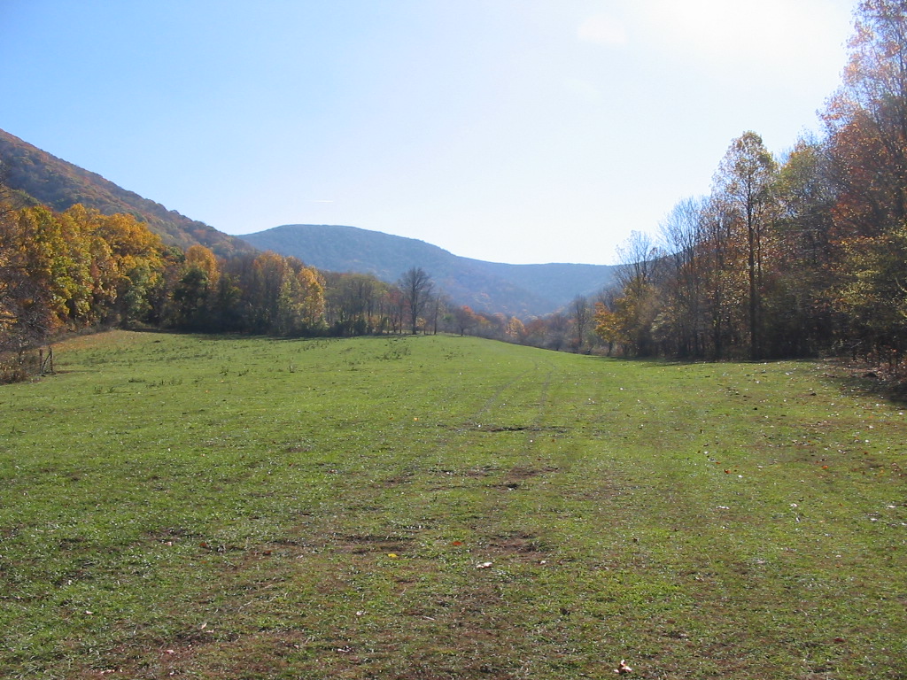
I
started at approximately 3000' elevation, and the
first two miles of the hike basically ascended on a
dirt farming road through pastureland. I
walked past numerous horses and cattle along the
way, a couple of barns, old tractor tires, and the
farmer himself whom I waved to. I also had to
open and close 4 or 5 cattle gates. I guess
the "Natural Area" is not so natural after all.
(Click
all images for larger photos)
|
 |
 |
 |
|
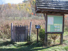
Parking Area and Trailhead for the Overmountain
Victory Trail |
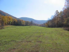
Going Up Through One of Many Pastures on the Way
to Yellow Mountain Gap
|
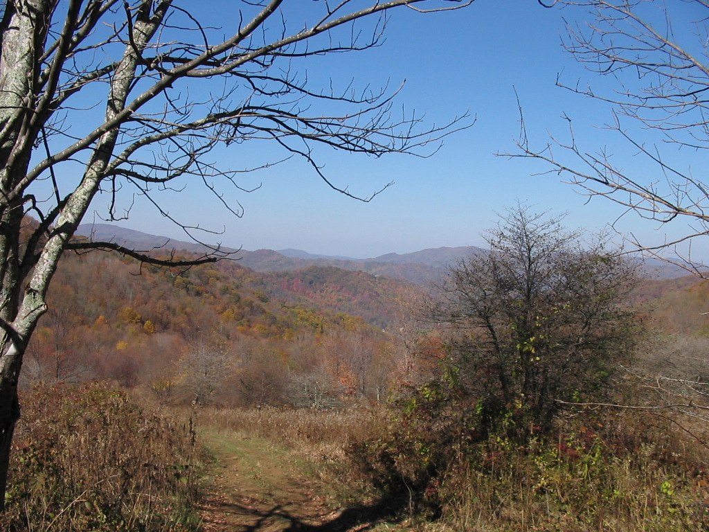
Looking Back
Down the Valley at
About 2.0 Miles
Into My Climb |
|
|
|
After
about two miles I reached the edge of the forest at
about 4100' elevation. From there the trail
basically traversed south-westerly through more old
roads and eventually what seemed to be newly
constructed trail. The blazes were white
triangle-shaped and in some areas they were really
well-marked, but in others they were almost
non-existent. This caused me to lose the trail
briefly a couple of times (especially with heavy
leaf cover on the trail), but eventually I made my
way to Yellow Mountain Gap (4700' elevation).
|
 |
 |
 |
|
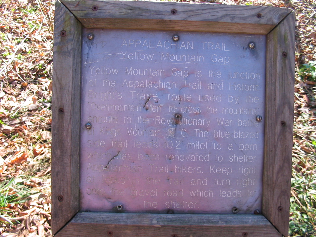
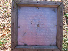
Sign at Yellow Mountain Gap Where the AT & the
Victory Trail Intersect |
The Overmountain Barn (AT Shelter) at Yellow
Mountain Gap |
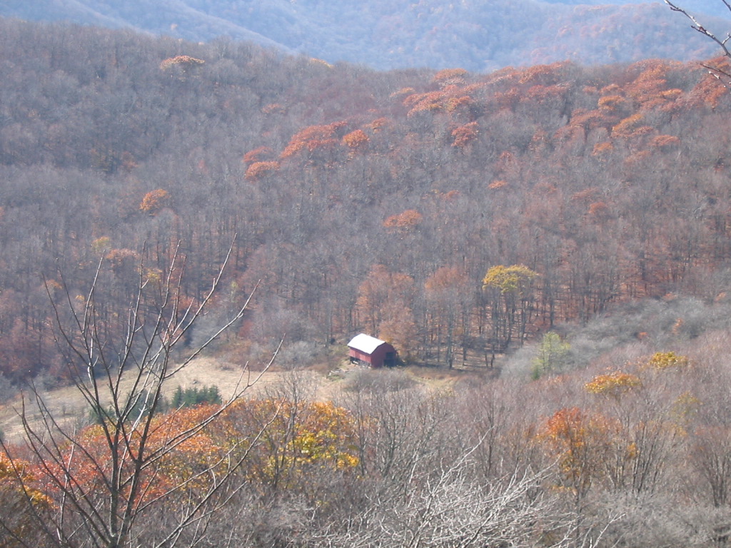
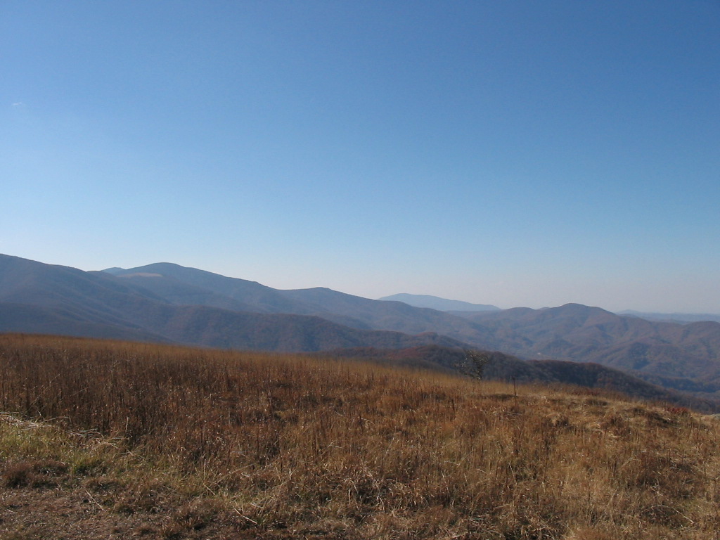
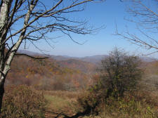
Views Into North Carolina from the Northern Climb
Out of Yellow Mountain Gap |
|
|
|
 |
|
 |
|
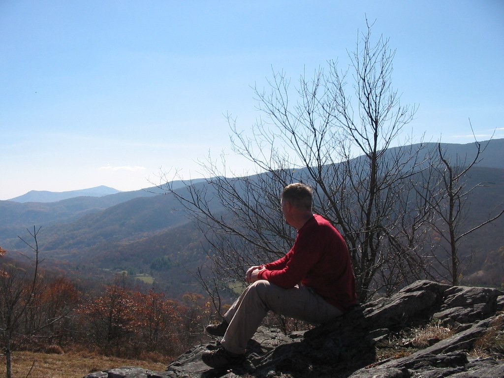
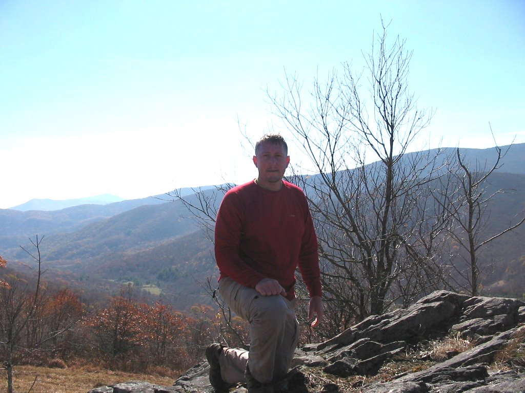
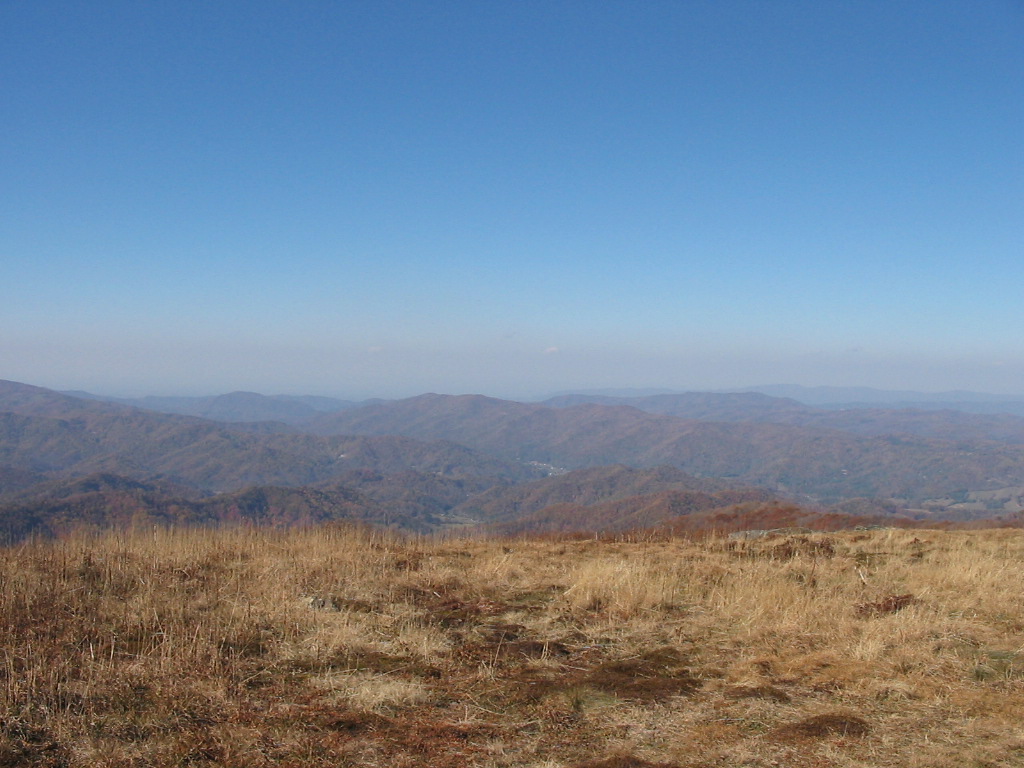
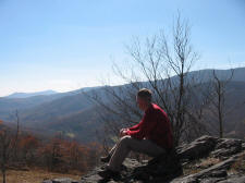
I Stopped on a
Rock Outcropping to Eat a Snack and Enjoy the Views |
|
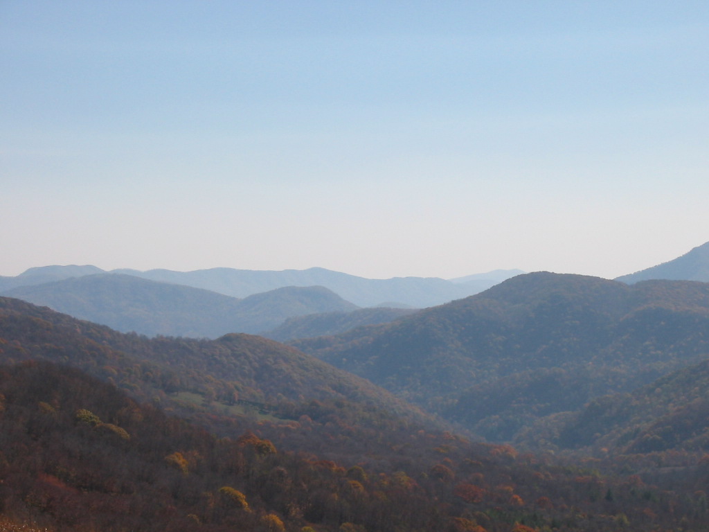
Overlooking
Yellow Mountain Gap |
|
|
|
From
Yellow Mountain Gap I took the Appalachian Trail to
the north, and after 1.6 more miles of climbing I
reached the summit of Little Hump Mountain
(elevation 5459'). This gave me approximately
2400' of elevation gain in a total of 5.5 miles to
the summit.
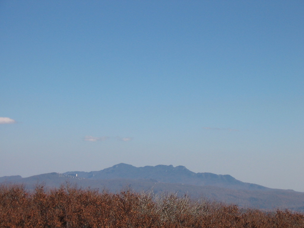
The
360 degree views on this bald summit were very nice.
I stopped to take some photos, but my batteries went
dead so I was only able to take the few below.
I soon turned around and came back down the
mountain.
My
total
miles hiked for this day was 10.8.
|