|
October
4th, 2008 -
I had original plans of hiking up Temple Hill near Erwin, TN via
the Granny Lewis Trail, but I had trouble finding the
trailhead. So instead I drove up to nearby Devil's Fork
Gap to do a short, southbound hike on the A.T. I
hadn't been on this section of the A.T. before, and my thoughts
were to hike to the Civil War historical Shelton
Gravesite, but I wasn't prepared and didn't know exactly how
far I had to hike to get to that point... so I turned
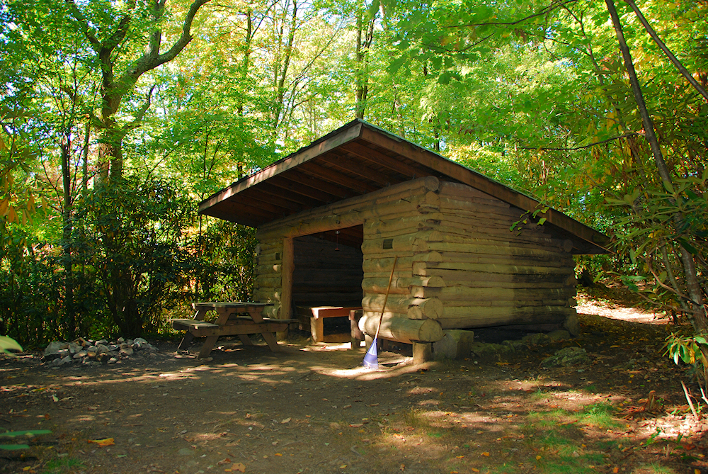
around at the Flint Mountain Shelter. Come to find out, I
had 2.4 miles to go to get to the gravesite, so I wish I would
have kept going. Oh well, I'll return soon to check that
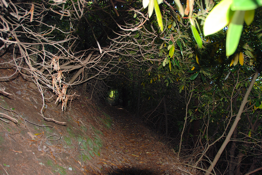
out. This
was a nice walk in the woods. There were really no views, but the trail
was in good shape with little elevation gain. I enjoyed
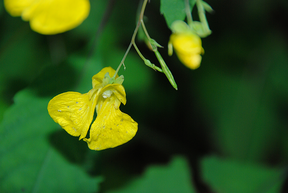
the Aster blooming along the trail, and found some Yellow
Jewelweed (TouchMeNots) to photograph. The leaves were
also beginning to change at these higher
elevations. |
|
Total
Miles Hiked: 5.6
Getting There:
Driving
- From Johnson
City, take I-26 toward Erwin. Go on past Erwin to exit #43
(Temple Hill). Turn left at the stop sign at the bottom of
the exit (your only option). At the next stop sign turn
right onto 19W (19/23). Then
merge right onto Highway 352. I forgot to do the mileage,
but stay on 352 until you get to the TN/NC state line (I think
it's about 6 or 7 miles from I-26). At the state line
there's a pull-off area on your left where you can
park.
Trails
- To go south on the A.T. you'll need to cross the road after you
park. Flint Mountain Shelter is 2.8 miles from the road. |