| Laurel Falls |
| |
|
|
|
October
12th, 2008 -
We met our friends the McMurrays at Dennis Cove and hiked to
Laurel Falls heading north on the A.T. We had a beautiful
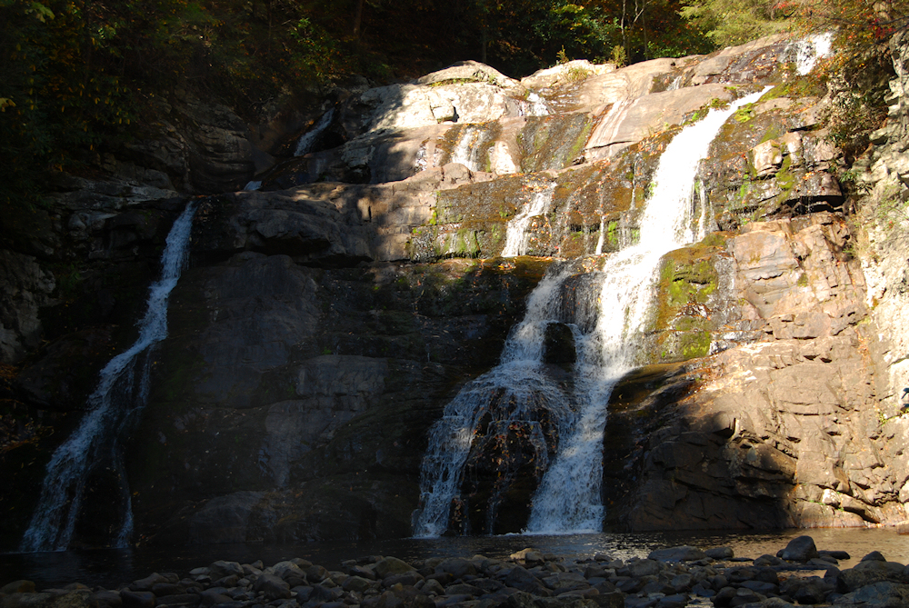
day and our hike was very pleasant. We rested at the
falls, and Erick and I took a lot of photos while the kids
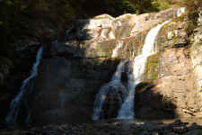
played. The only downside was the water volume in the
falls was extremely low due to the drought (see here
for higher volume photos from this past
March). |
| |
|

|
|

|
|
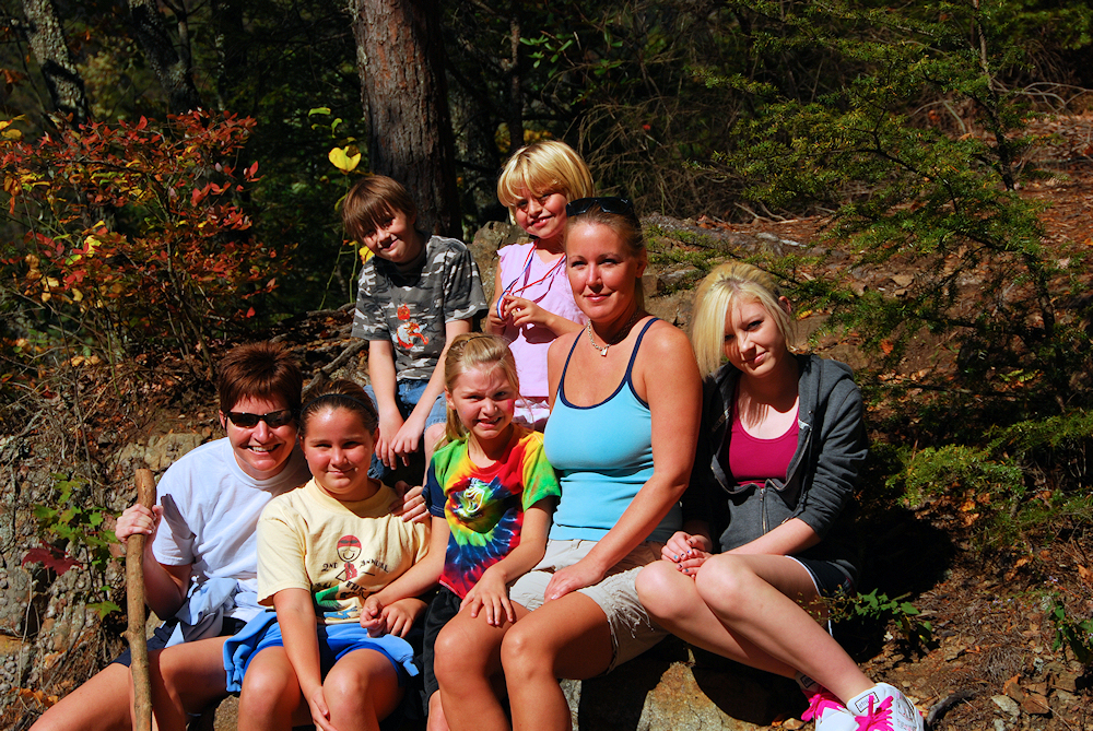
The
Gang (Except for Erick and I Taking Photos) |
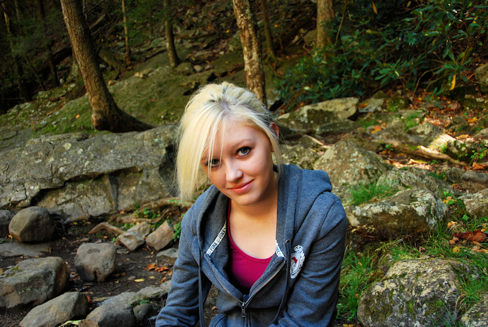
|
Taylor |
| |
|
|
 |
|
 |
| Unusually
Low Volume at Laurel Falls |
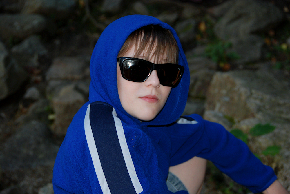
|
Campbell |
| |
|
|
|
On the hike back out Erick
introduced us to geocaching, and we had four finds on the trail.
Campbell really enjoyed it, so I'm sure we'll do more geocaching in the
future. Amy talked some photography tips and techniques with me on
the way out too... she does absolutely wonderful work (see here),
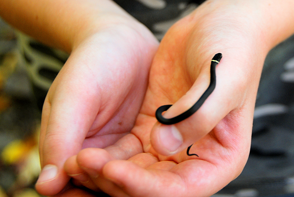
as does Erick. We also ran into a small Ring-Necked Snake, which the
kids all had to hold while we took their
photos. |
| |
|
|
 |
|
 |
|
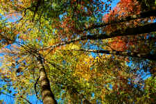
Looking
Up at the Fall Colors |
|
Cam
Holding a Tiny Ring-Necked Snake |
| |
|
|
 |
|
 |
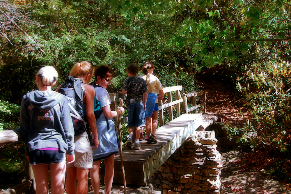
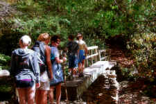
| Everyone
Crossing the Bridge Over Laurel Fork |
|
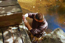
Erick
Finds a Geocache |
| |
|
|
|
We had such a good time that
when we got back to the car we decided to drive on up to Carver's Gap at
Roan Mountain for another short hike to see the fall colors. Click
here for the rest of our great day! |
| |
|
|
 |
|
 |
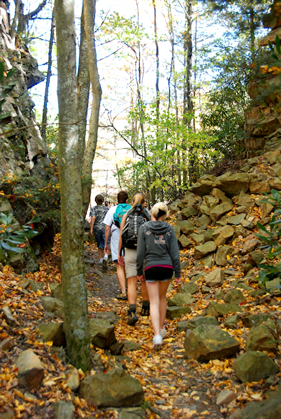
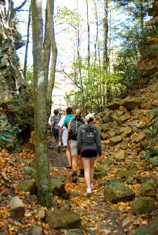
| Hiking
Back Out |
|
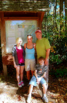
The
Fullers at the Trailhead |
|
|
|
Total
Miles Hiked: 2.4
Getting There:
Driving
- From
Elizabethton, take 19E toward Hampton. Once in Hampton turn
left onto highway 321 toward Mountain City. Proceed 0.8
miles and turn right onto Dennis Cove Road. Follow this
winding road for 4.0 miles and you'll see small parking area on
your left. If you wish to hike in from the Hampton
Blue-blaze route see these
directions instead.
Trails
- The
trailhead will be off to your left from the parking
area. This is the Appalachian Trail (heading north) so just
follow the white blazes. After approximately 1.1 miles you
make a sharp turn to the left and proceed down into the ravine for
another 0.1 miles (again following the white blazes). If
you wish to hike in from the Hampton Blue-blaze route see these
directions instead (it's about 5 miles round trip instead of
2.4). |