| GRAYSON
HIGHLANDS - A.T. & PINE MOUNTAIN TRAIL LOOP |
| |
|
|
|
January
3rd & 4th, 2009 - We
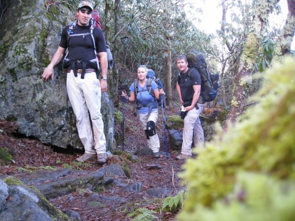
started the New Year off right with a wonderful backpacking loop
in the Grayson Highlands. My friend Jimmy Humston joined
Shannon and I on this trip.
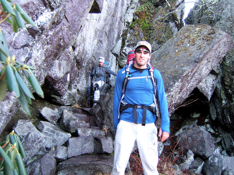
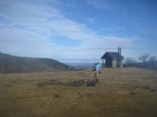
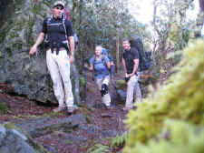
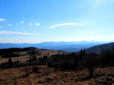
We
parked our car in the Grayson Highlands State Park and began
on the 0.8 mile Appalachian Spur Trail, which climbed up to the
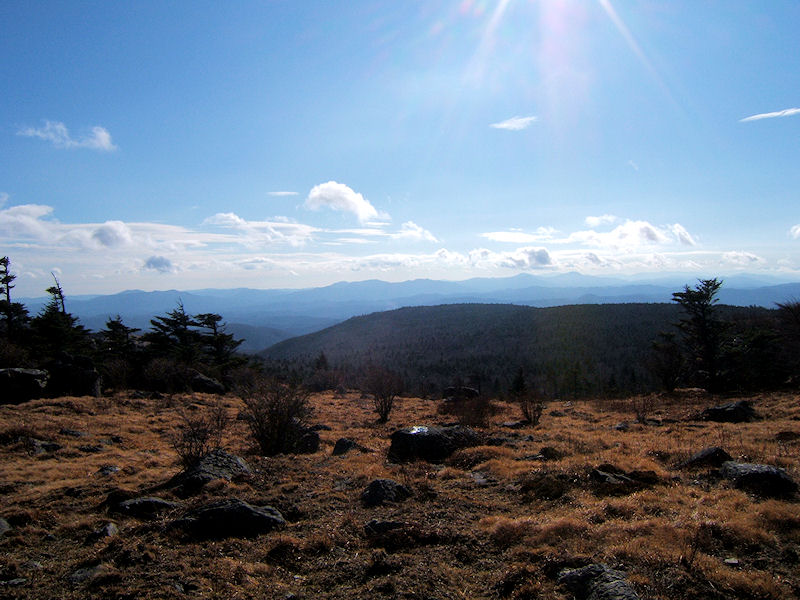
lower sections of Wilburn Ridge. From there we set out
north on the A.T. in some foggy conditions, but it cleared up
nice by the time we reached Little Wilson Creek. |
| |
|

|
|
|
|
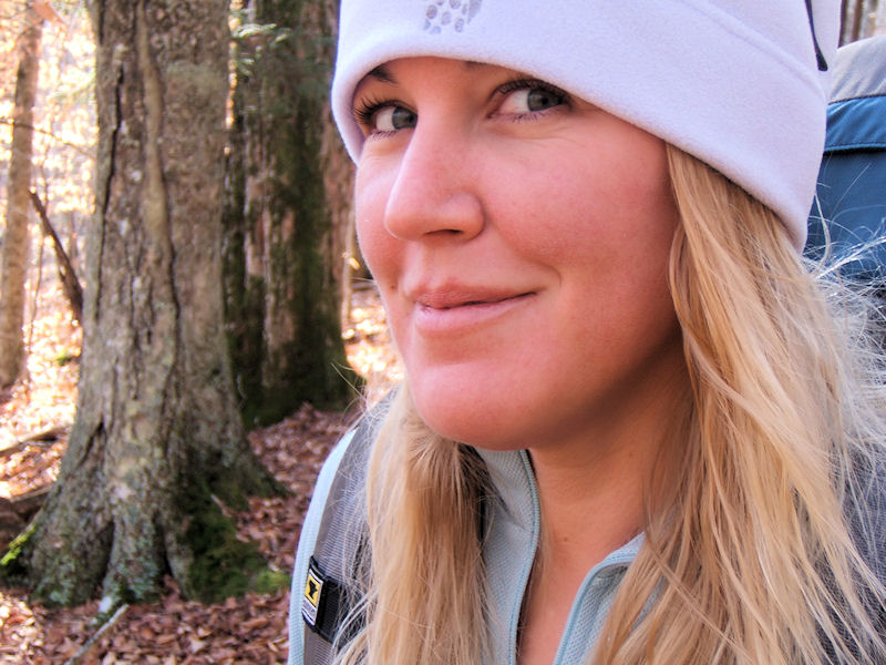
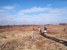
Shannon
Early in the Trip |
|
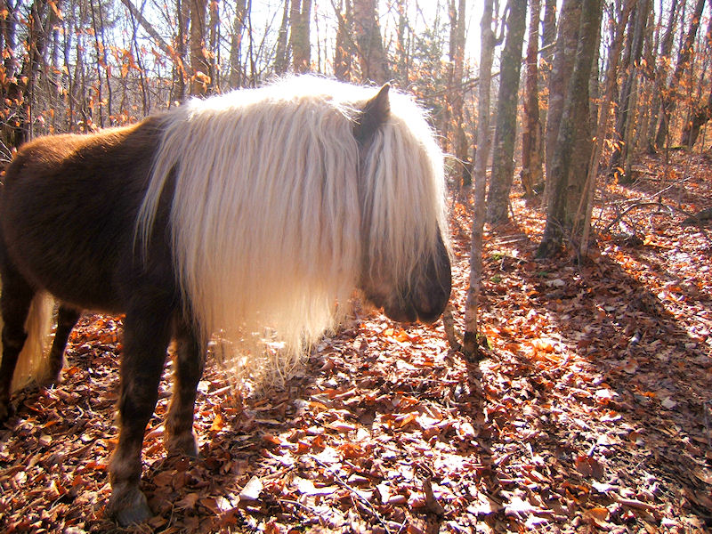
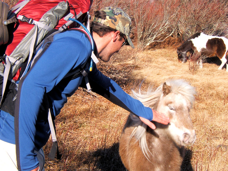
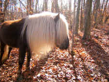
We
First Ran into Wild Ponies Near Little Wilson Creek |
|
|
|
|
 |
|
 |
|
Jimmy Named This
One, "Rock Star Pony" |
|
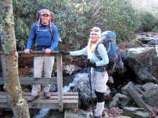
Jimmy
& Shannon at Little Wilson Creek |
| |
|
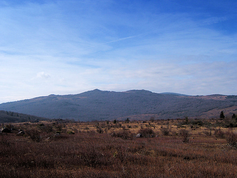
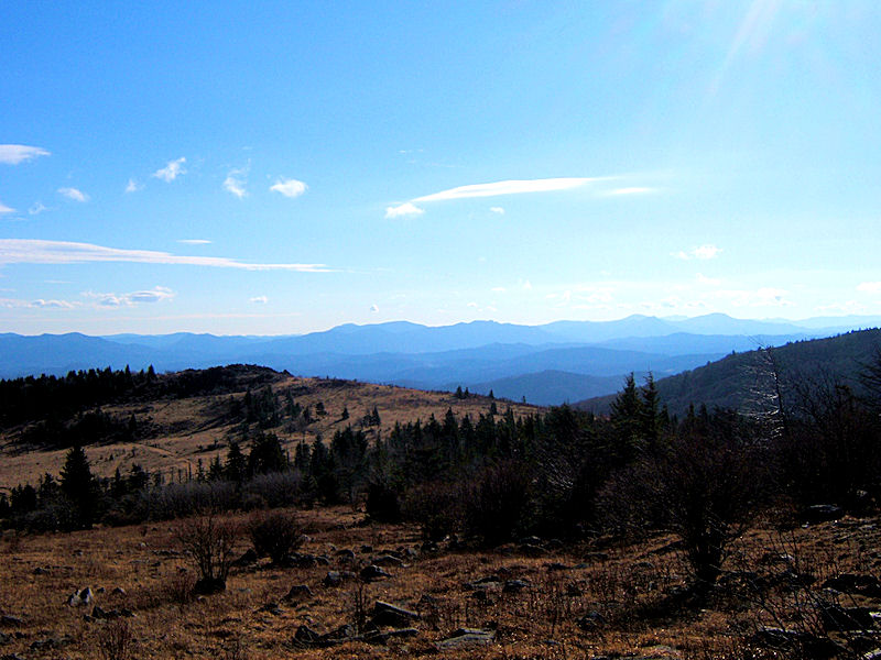
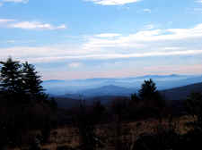
After our descent
to Little Wilson Creek, we stopped for lunch in a grassy
field. Shannon fixed us ham & cheese sandwiches, which
gave us plenty of energy for our climb up Stone Mountain.
It was very windy on Stone, but the clear weather gave us nice
views toward Wilburn Ridge, where we would be the following day. |
| |
|
|
 |
|
 |
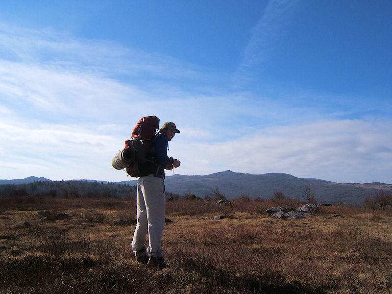
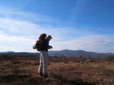
| Jimmy
Checking Out the Views on Stone Mtn. |
|
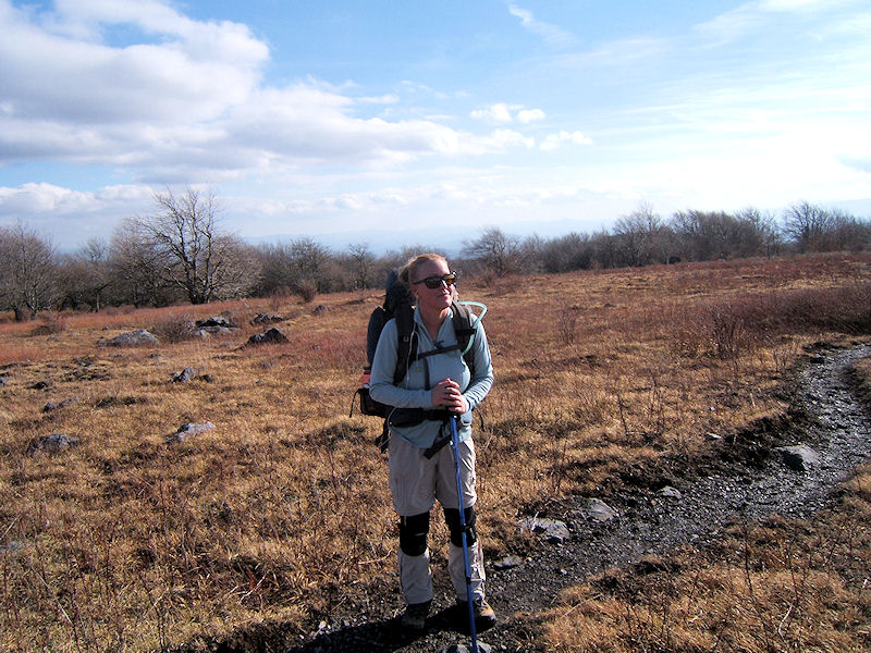
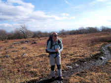
Shannon
on Stone Mountain |
| |
|
|
 |
|
 |
| Hiking
on Muddy Trails |
|
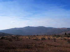
Looking
at Wilburn Ridge from Stone Mtn. |
| |
|
|
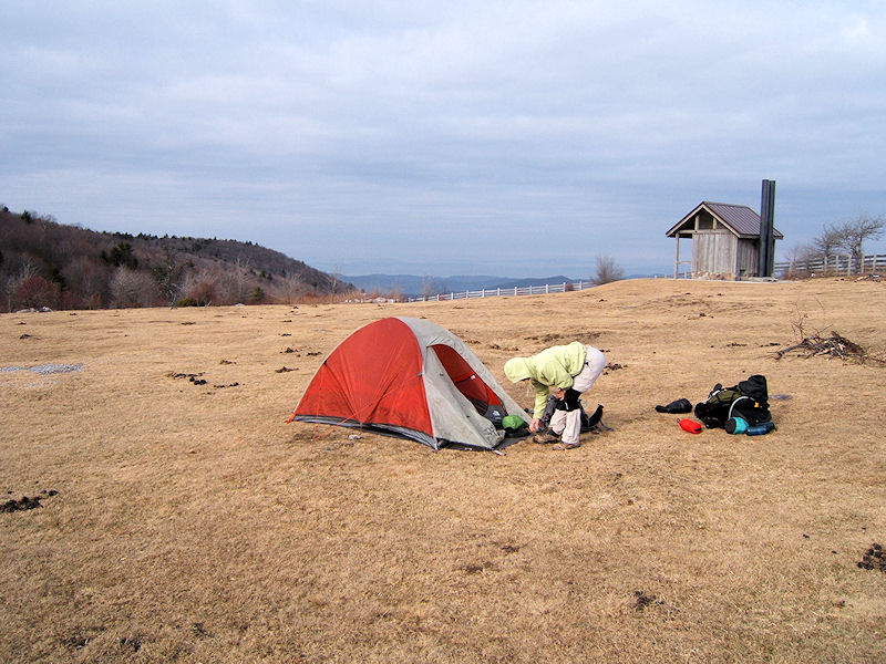
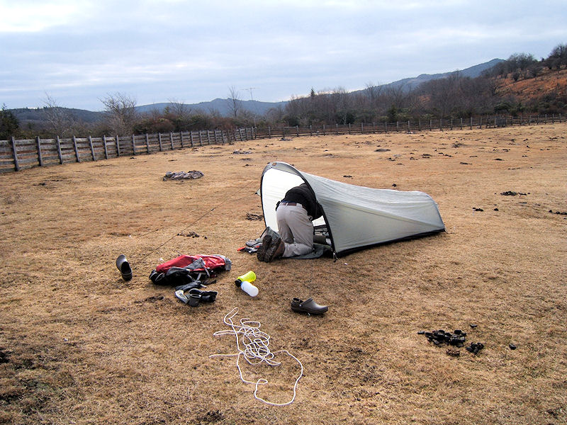
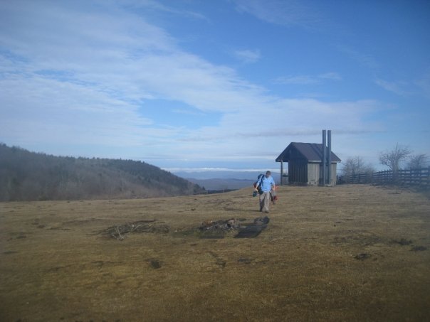
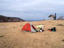
| We
then descended down Stone Mountain into "The Scales",
and even though it was still early we decided to call it a day
and set up camp. We found a nice water source, and felt we
might need the roof-covered porch on the Scales outhouse for
getting packed back up in the morning with the heavy rains in
the forecast. |
| |
|
|
 |
|
 |
|
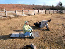
Shannon
Setting Up for the Night
|
|
Jimmy
Putting Up His Tent |
|
|
|
|
 |
|
 |
|
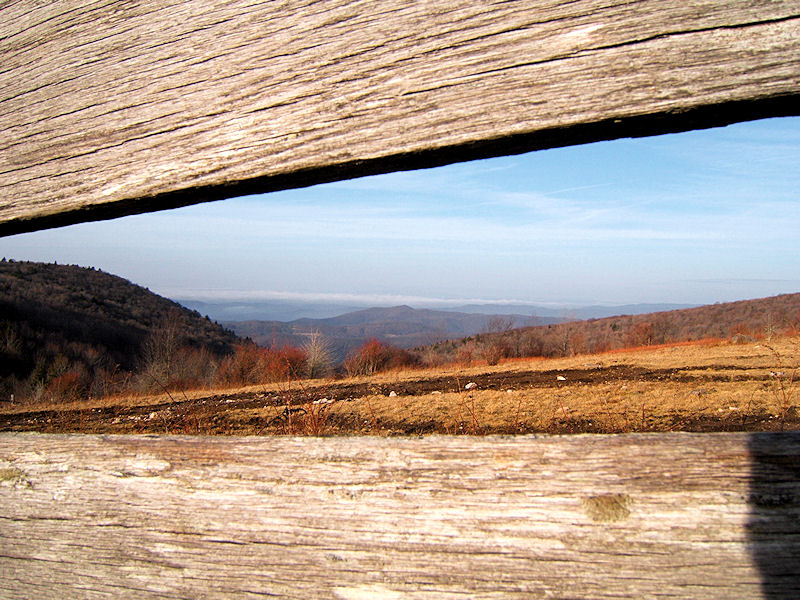
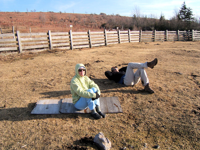
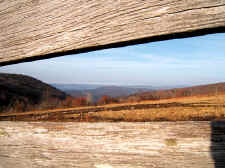
Looking Toward
Virginia Mountains Through the Fence |
|
Enjoying
the Mild Weather |
| |
|
|
 |
|
 |
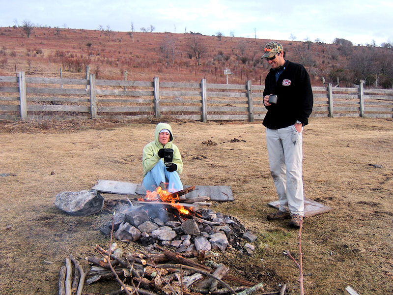
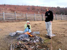
| Jimmy
Made Us Some Coffee |
|
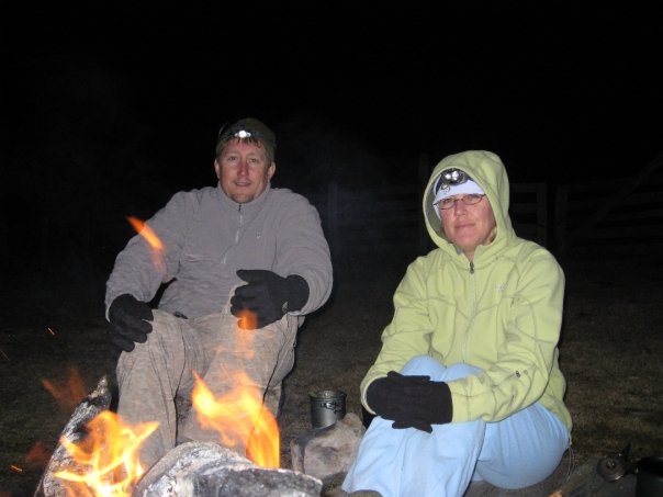
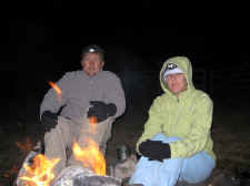
Bill
and Shannon Keeping Warm Around the Fire |
| |
|
|
|
We set up our tents and got a good
fire going to keep us warm. Jimmy fixed us coffee, and
Shannon and I had a great dinner of cheesy noodles. We set
around the fire and talked until 10:00 or so before going to
bed.
This completed a 5.4 mile day. It
did rain hard throughout the night, but we stayed warm. The
rain continued until about 9:00 a.m. so we stayed in our tents a
little later than we wanted, but it cleared up soon after.
By the time we were packed up and back on the trail, the weather
was great again. |
| |
|
|
 |
|
 |
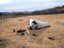
| Bill
Drying Out After a Rainy Night |
|
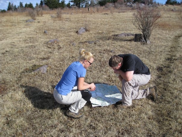
Checking
the Map Near the Pine Mountain Trail |
| |
|
|
 |
|
 |
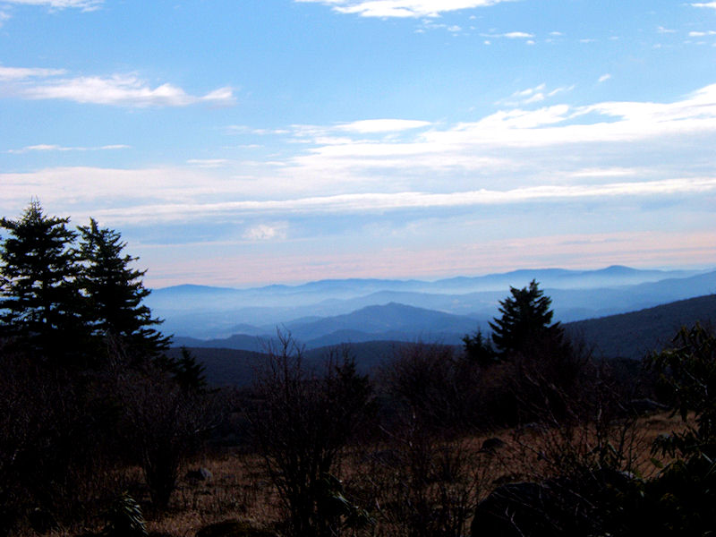
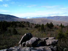
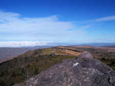
| Nice
Views from the Pine Mountain Trail |
|
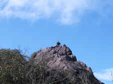
Possum
With Mt. Rogers in the Background |
| |
|
|
|
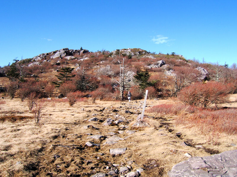
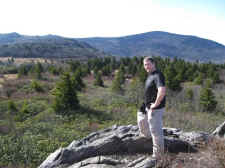
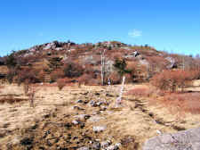
After leaving The Scales we
made our climb up Pine Mountain. Soon we reached the junction of the
The Pine Mountain Trail, which is where we left the A.T. We then
hiked 1.9 miles on this trail that was at one time the old Appalachian
Trail. I really enjoyed the diversity of this part of the
hike... the Pine Mountain Trail began in a pretty evergreen forest,
then opened up into a grassy ridgeline with wonderful views and rock
outcroppings. We then climbed though tunnels of Rhododendrons, and
finally had some interesting rock scrambles before eventually making it to
Rhododendron Gap, and re-joining the A.T. |
| |
|
|
 |
|
 |
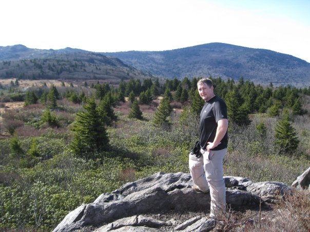
| Jimmy
on a Big Outcrop on the Pine Mtn. Trail |
|
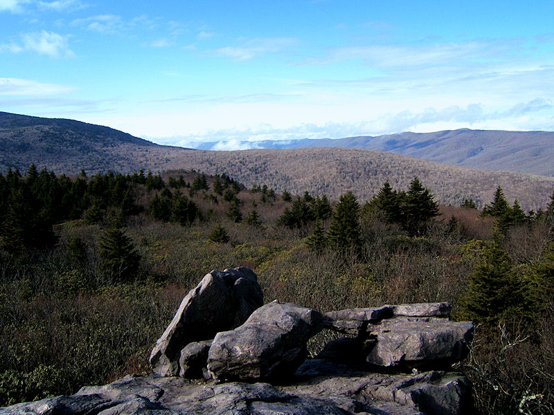
Vistas
of the Southwest VA Mountains |
| |
|
|
 |
|
 |
| A
Mile High! |
|
Jimmy,
Shannon, and Bill Make the Climb to Rhododendron Gap |
| |
|
|
|
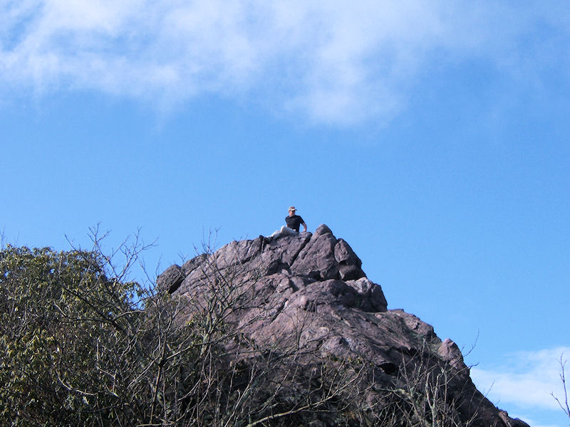
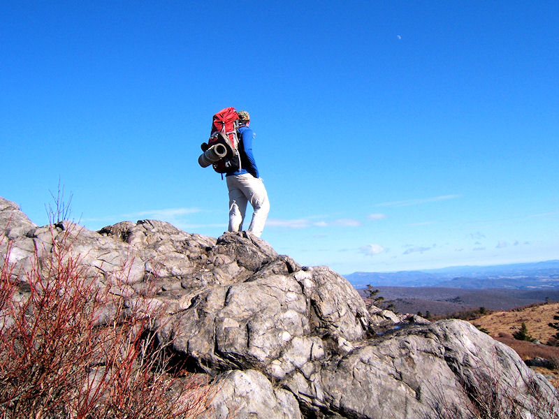
Once at Rhododendron Gap we
climbed the big rock for some great views of the entire Grayson
Highlands. We also stopped for a little lunch before getting back on
the A.T. (still heading north). |
| |
|
|
 |
|
 |
| Jimmy
Atop the Rock at Rhododendron Gap |
|
Vista
from Rhodo Gap |
| |
|
|
 |
|
 |
| Shannon
Scrambling Up Some Steep Rocks |
|
Views
from Wilburn Ridge |
| |
|
|
|
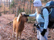
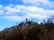
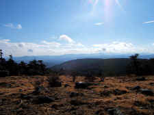
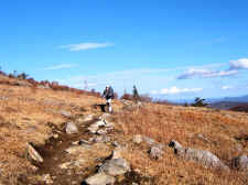
We then worked our way across
Wilburn Ridge, and took our time enjoying the scenery. We
also ran into some more wild ponies on the top of the
ridge. |
| |
|
|
 |
|
 |
|
Jimmy
Looks Like He Could be on the Next Cover of Backpacker Magazine |
|
Jimmy
Gets in Some Pony Pettin' |
| |
|
|
 |
|
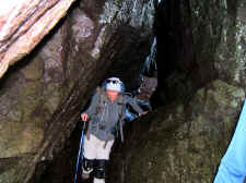 |
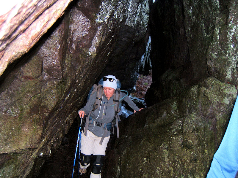
| Navigating
Through "Fatman Squeeze" |
|
Shannon
in the Squeeze |
| |
|
|
|
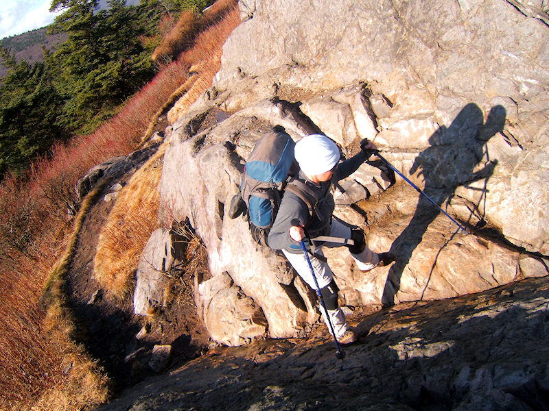
We navigated the "Fatman
Squeeze", and then made our steep descent down Wilburn
Ridge. The views once again were fantastic.
Eventually we were back inside the State Park at Massie Gap, and
found the A.T. Spur Trail that we came up yesterday, completing
our loop. |
| |
|
|
 |
|
 |
| Climbing
Down Rock Staircases |
|
Great
Vistas Near Grandview Peak |
| |
|
|
 |
|
 |
| Coming
Down Off Wilburn Ridge |
|
Shannon
Near the End of the Trip |
| |
|
|
 |
|
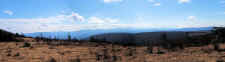
Panorama Taken on Wilburn Ridge |
| |
|
|
|
We hiked 6.6 miles the
second day, giving us a total trip of 12.0 miles. If you can't
get a shuttle for a straight-thru trip, I would highly recommend this loop
that we took. It was very enjoyable. Thanks to Jimmy for many of the photos above! |
|
|
|
Total Miles
Hiked: 12.0 |
|
Getting
There:
Driving
- From I-81 in
Virginia, take exit 19 and go toward Damascus via US-58.
Continue on US-58 through the town of Damascus and
across the mountain. The entrance to the State Park is on
your left. I'm not sure of the mileage from exit 19 to the
park, but I'm guessing its approximately 35-40 miles.
Trails
- To make the loop like we did...
Once
inside the State Park, we parked our car at the "backpackers
overnight parking". The Appalachian Spur Trail is
designated with a sign and is blue-blazed. After 0.8 mile
you'll reach the white-blazed A.T. Turn right on the A.T.
(which is going north). After 4.6 miles you'll reach
"The Scales" where we camped. Continue north on
the A.T. and in another 1.4 miles you'll reach the junction of the
Pine Mountain Trail. Take a left on this trail, which is
blue-blazed, and continue for 1.9 miles to the junction at
Rhododendron Gap. Get back on the A.T. here heading north
(there's a sign that points the way). In another 2.5 miles
you'll see the A.T. Spur Trail on your right. Return on that
to your car. |