|
Getting
There:
Driving
- From I-81 in
Virginia, take exit 35 (Chilhowie). Take a right at the
bottom of the ramp onto state route 762/600. I'm not sure of
the exact mileage but stay on 600, and in approximately 11.5 miles
you come to state route 603 on your left. Take this road for
4.5 miles to get to the A.T. crossing at Fox Creek, which is where
we ended our hike.
To
get to Elk Garden (where we started our hike), return
to SR600 from SR603. Take a left at the intersection, and
then take another immediate left back onto SR600. In
approximately 3 miles you'll see the Elk Garden parking area on
your right, along with the sign
for Mount Rogers.
Trails
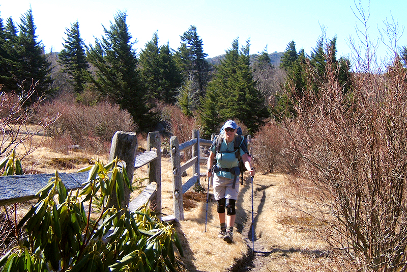
- From the Elk Garden parking lot, cross the road and go through
the fence to head north on the A.T. Follow the white blazes
for approximately 3.8 miles and you'll come to the Mount Rogers
Spur trail. Take this trail to the left for 0.5 miles to
summit Mt. Rogers. Return, and continue on the A.T. for
another 0.4 miles to get to the Thomas Knob shelter and a good
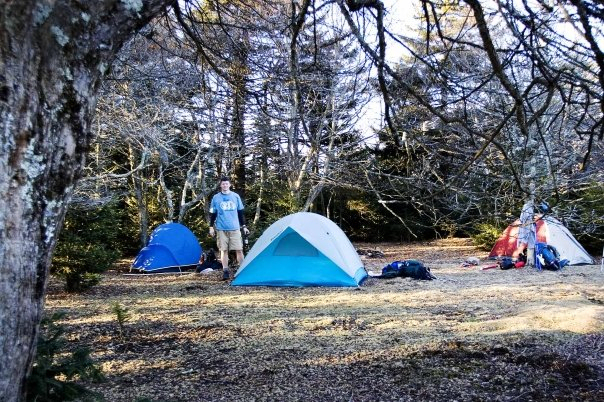
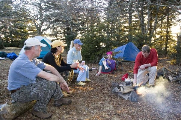
water source. We camped soon after this shelter.
Continue another 0.8 miles to Rhododendron Gap where there's a
junction of trails. Llook for blue-blazes for the Pine
Mountain Trail. Take the Pine Mtn Trail for 1.9 miles, until
it re-connects with the A.T. on Pine Mountain. Take a left
here on the A.T. to continue north, and to make the final 3.4 mile
descent to Fox Creek.
Hike
Rating -
Bill's
Overall Rating: 
Distance:
11.3 miles
Difficulty:
DIFFICULT
Type:
Continuous
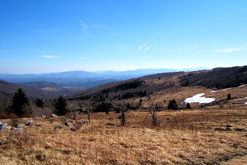
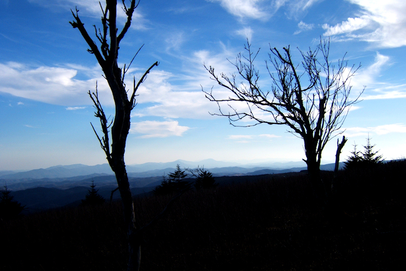
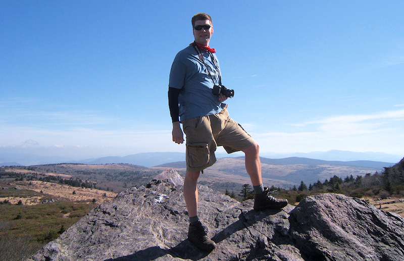
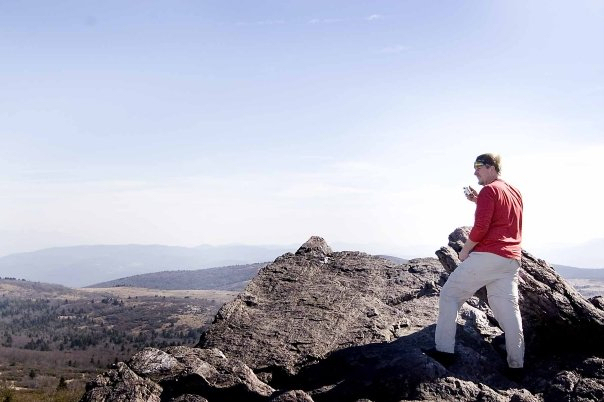
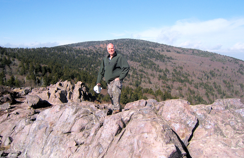
Vista
Rating:
Waterfall
Rating: NONE
Water
Crossings: numerous EASY Scrambling/Climbing:
numerous EASY - few MODERATE Hazards:
possible ice, slippery slopes
Significance:
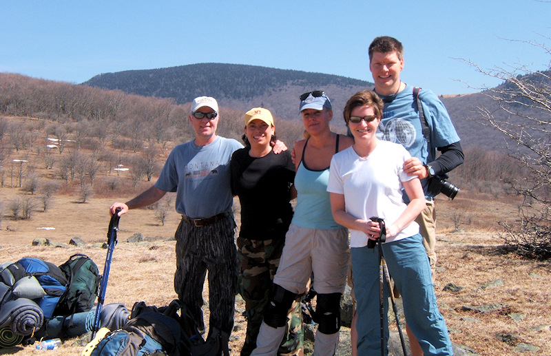
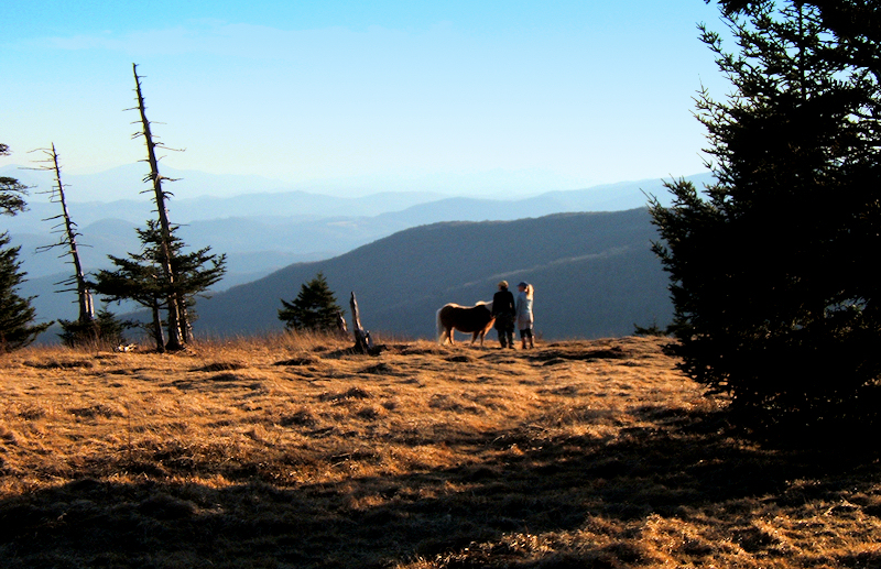
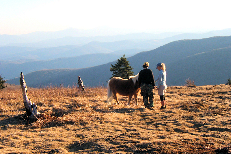
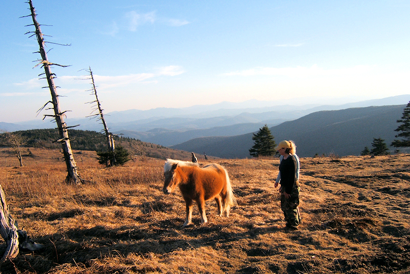
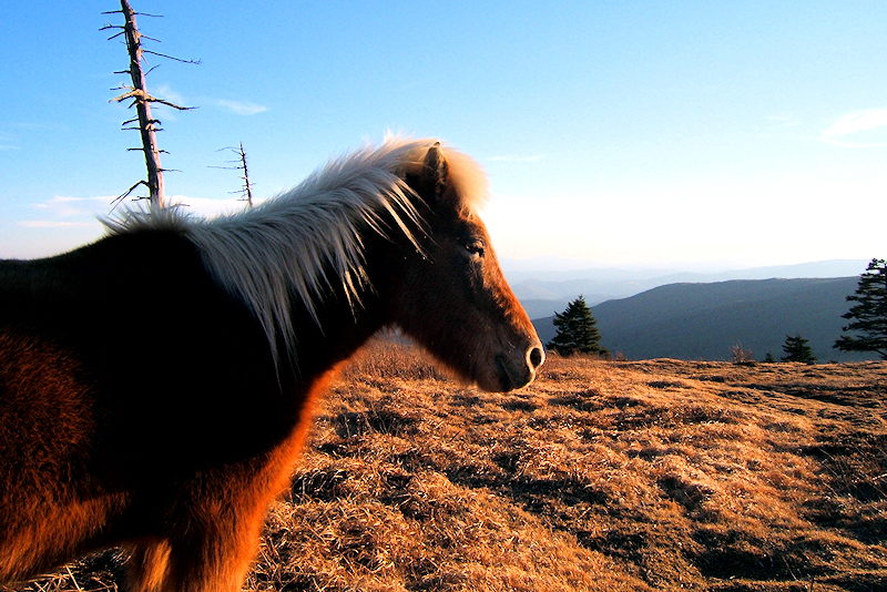
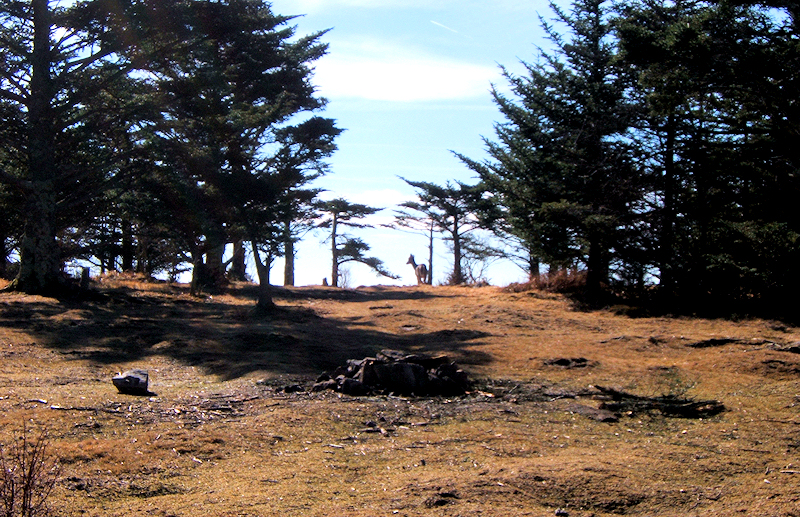
State Highpoint, Appalachian Trail, Wild Ponies, Wildlife,,
A.T. shelters (2), rare fir and spruce forests
Recommendation:
average backpack
Click
here for hike rating reference guide.
|