|
Getting
There :
Driving
- From Johnson City: Take I-26 to the
Erwin/Jonesborough exit (#37). At the end of the ramp turn right
and take State Rt. 81/107 for 6.5 miles. Stay on Rt. 107 by
turning left and continue for 5 more miles. Turn left onto Clark's
Creek Road and drive 3.1 miles into the Cherokee National Forest
to a parking area on the left. A sign will indicate the trailhead
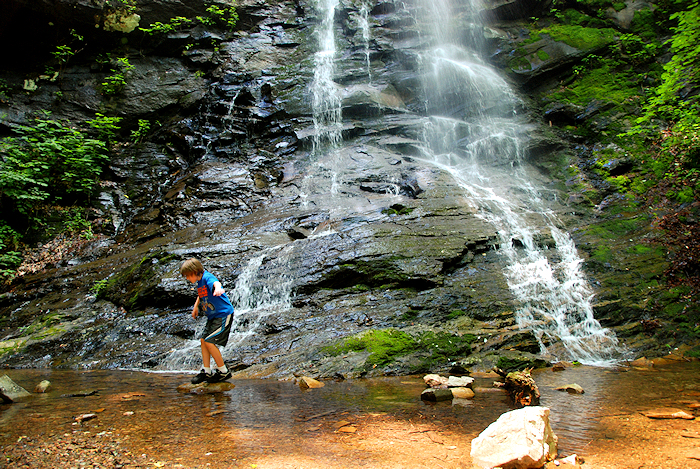
for Sill Branch Falls.
Trails
- This is a short 0.5 mile hike to get to the falls on CNF
Trail #115. When you come to a fork in the trail, follow the
sign to the falls by taking the trail to the left. You'll
have to immediately ford the stream, and then ascend up a steep
hill (the only tough portion of the hike) The trail
dead-ends at the falls.
Hike
Rating -
Bill's
Overall Rating:
Distance:
1.0 miles
Difficulty:
EASY
Type:
OUT & BACK
Vista
Rating: 
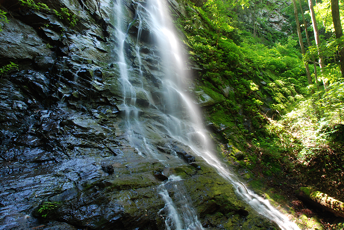
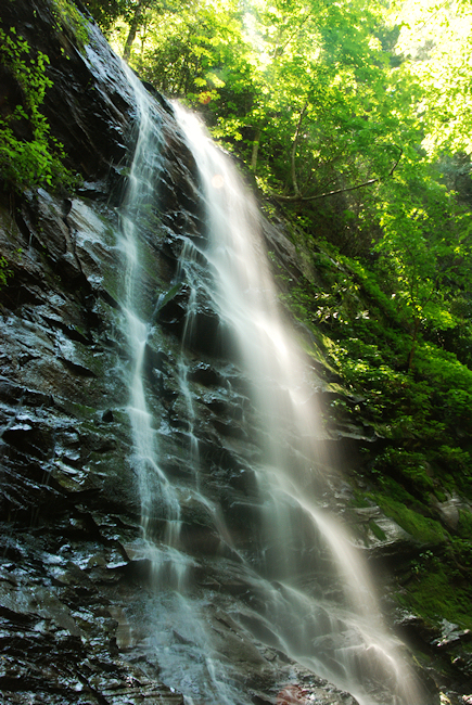
Waterfall
Rating: H(6)
+ F(4) + V(4) + W(2)
+ G(3+4+7) = 30 Water
Crossings: 2-MODERATE
(EASY in times of low water flow) Scrambling/Climbing:
EASY Hazards:
slippery slopes, steep slope
Significance:
waterfall
Recommendation:
family/beginner, average
Click
here for hike rating reference guide. |