| LIMESTONE
COVE TO HORSEBACK RIDGE |
| |
|
|
|
February
2nd, 2008 - I
decided to take advantage of the beautiful weather and spend my
Saturday by climbing Unaka Mountain. I started my trek
near the Limestone Cove Park on Rocky Branch Road. I
parked the Jeep about .5 mile short of the actual mapped
trailhead for the Limestone Cove Trail (CNF Trail #30), and
began at 2350' elevation. |
| |
|
|
|
|
|
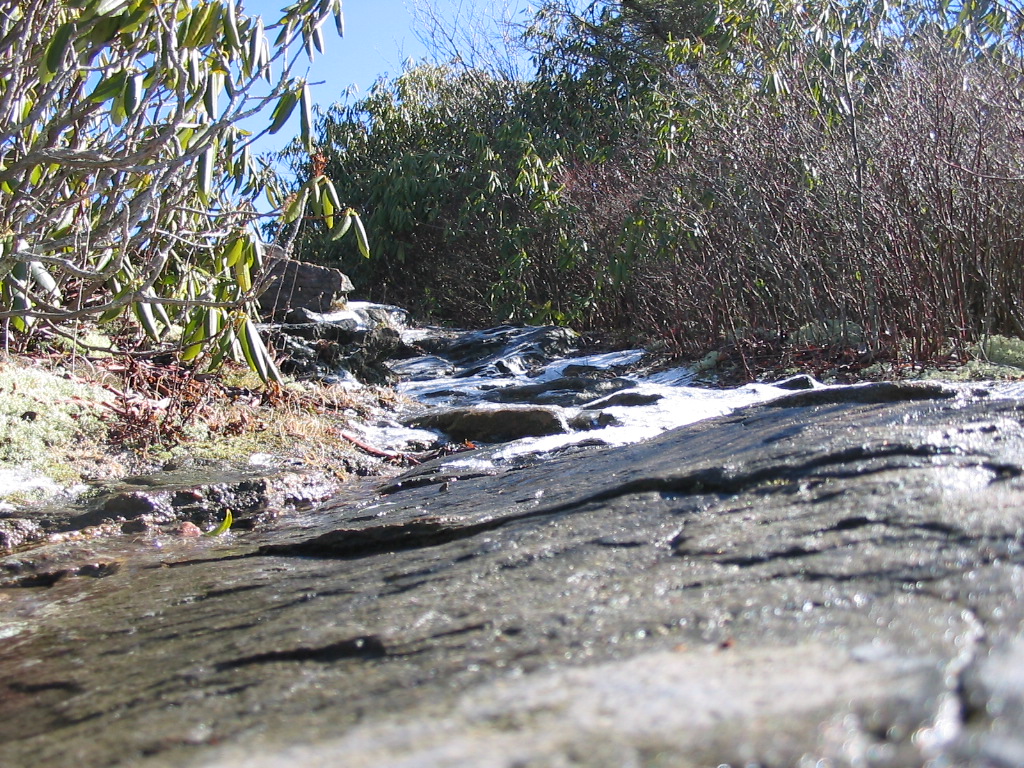
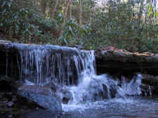
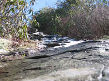
Small
Waterfall on Rocky Branch |
|
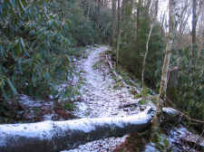
Snow
Covered Trail Around 4000' |
| |
|
|
|
The
Limestone Cove Trail is a nice, wide trail, which made for
pleasant hiking. Not far into the climb I crossed Rocky
Branch and took a photo of the small waterfall (shown
above). Soon after that the trail began a series of switchbacks
ascending directly up the north face of Unaka. I ran into
quite a bit of snow and ice as my elevations got
higher. |
| |
|
|
 |
|
 |
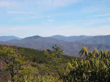
| View
from Stamping Ground Ridge With "Bald" Hump Mountain in the
Distance (Center) |
|
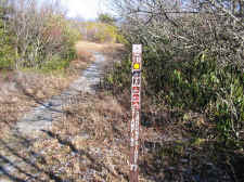
Trail
Sign for Stamping Ground Ridge from Unaka Mountain Road |
| |
|
|
|
After
3.7 miles I ran into the Stamping Ground Ridge Trail at
approximately 4500'. This was the old Appalachian Trail many
years ago. I then turned right on that trail to
keep ascending, and after another .5 miles I reached the upper
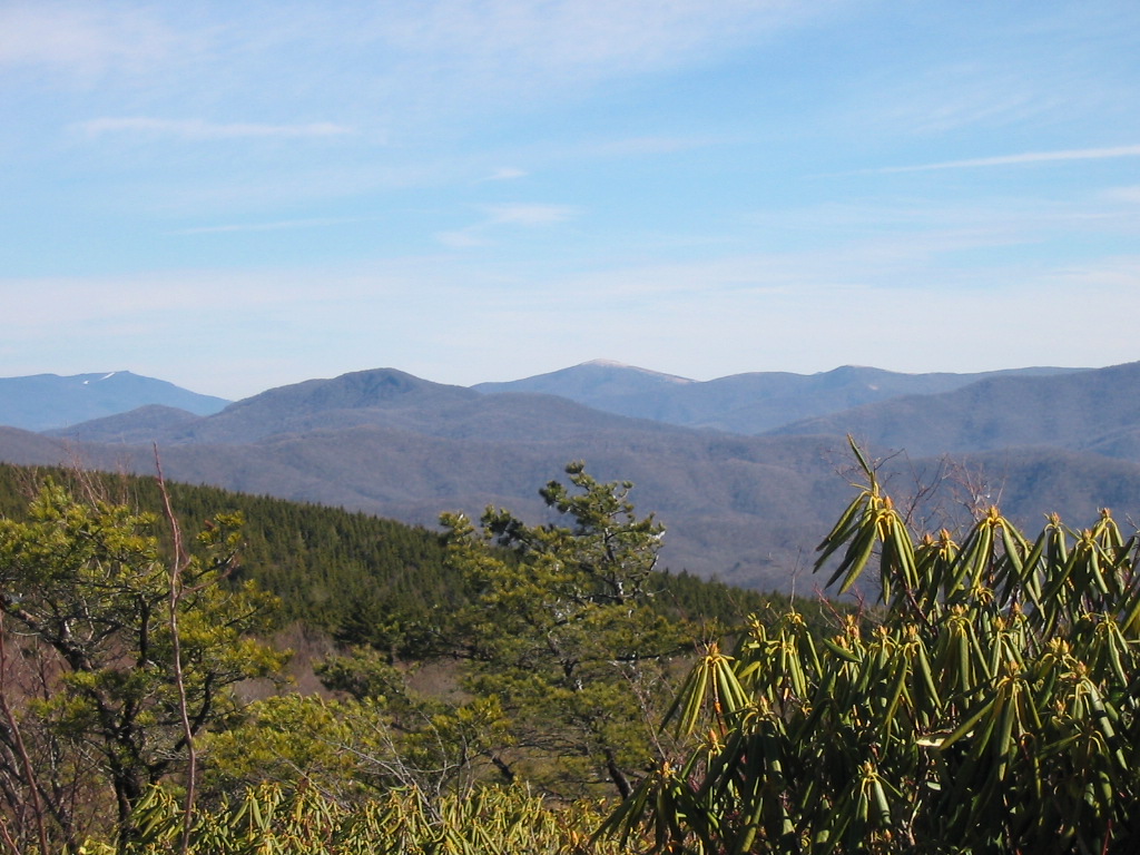
terminus of Stamping Ground Ridge. This area is a very nice
location, and gave me wonderful eastern views of Roan, the two
Humps, and the other surrounding mountains. |
| |
|
|
 |
|
 |
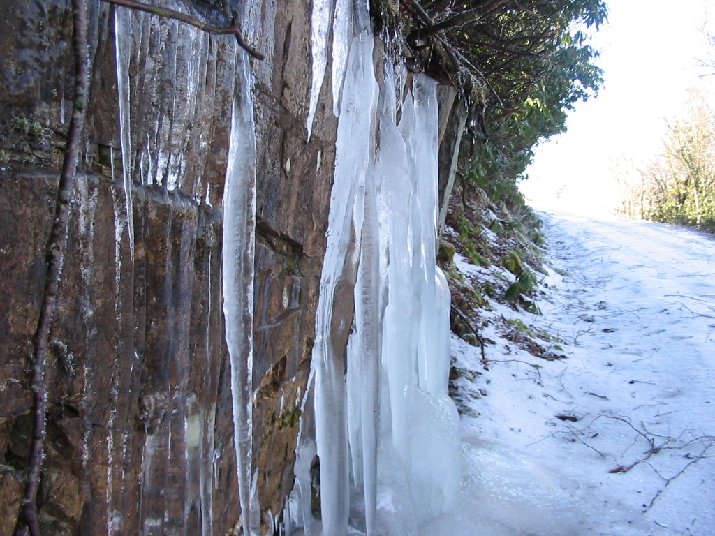
| Big
Icicles on Unaka Mountain Road |
|
Trail
on Horseback Ridge |
| |
|
|
|
From
Stamping Ground Ridge, I came upon the completely ice-covered
Unaka Mountain Road. I again turned right and followed this
road for another .5 miles until I found the unmarked trail leading
down to Horseback Ridge. It was at this point that I reached
my highest elevation of the day at 4750 feet. |
| |
|
|
 |
|
 |
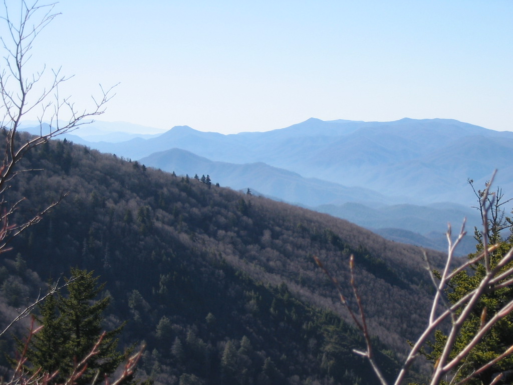
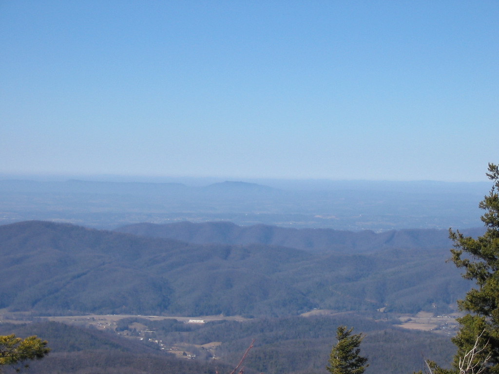
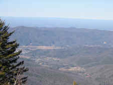
| View
of Pinnacle Mountain from Horseback Ridge |
|
Majestic
Views Toward Erwin |
| |
|
|
|
I walked down Horseback
Ridge for a tenth of a mile or so for breathtaking views. This
somewhat unknown viewpoint on Unaka Mountain remains one of my
most-favorite places in east Tennessee. I took a few photos and
turned around to make my walk back down the mountain. |
| |
|
|
 |
|
 |
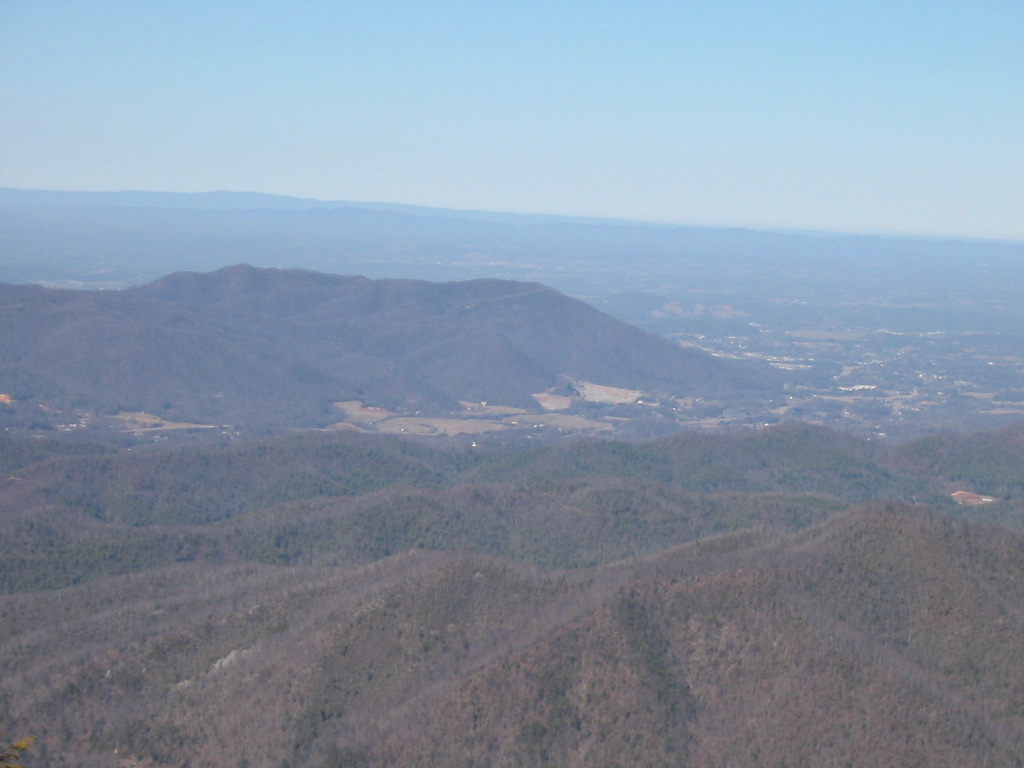
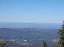
| Bays
Mountain Near Kingsport is the Faint Peak in the Distance |
|
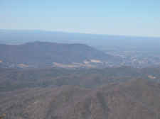
View
of Buffalo Mountain and Johnson City from Horseback Ridge |
| |
|
|
|
I arrived back at the Jeep
after four hours of hiking, climbing and descending 2400 feet in each
direction, while covering 9.4 total miles.
Directions to CNF Trailhead
#30: From Johnson City take I-26 to the Unicoi
exit (#32). At the end of exit ramp turn left. At the stop sign turn right
onto Unicoi
Road and proceed for 0.7 miles. Follow the signs pointing to the Cherokee
National Forest by turning left onto Rt. 107 (Limestone Cove Road). Drive
for approximately 3.5 miles. The park is on the left, and Rocky
Branch Road is immediately after on the right. Follow Rocky Branch
Road for approximately 1 mile to a gravel parking area, and a small sign
designating the trail. |
|
Total
Miles Hiked: 9.4 |