|
March
21st, 2008 - I
had originally planned a backpacking trip this weekend, but I've
been fighting a bad cold, so I instead opted for a short hike in
the Clarks Creek Area. After some good rains lately I
thought the waterfalls would be nice, and I wasn't disappointed...
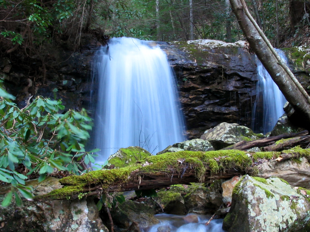
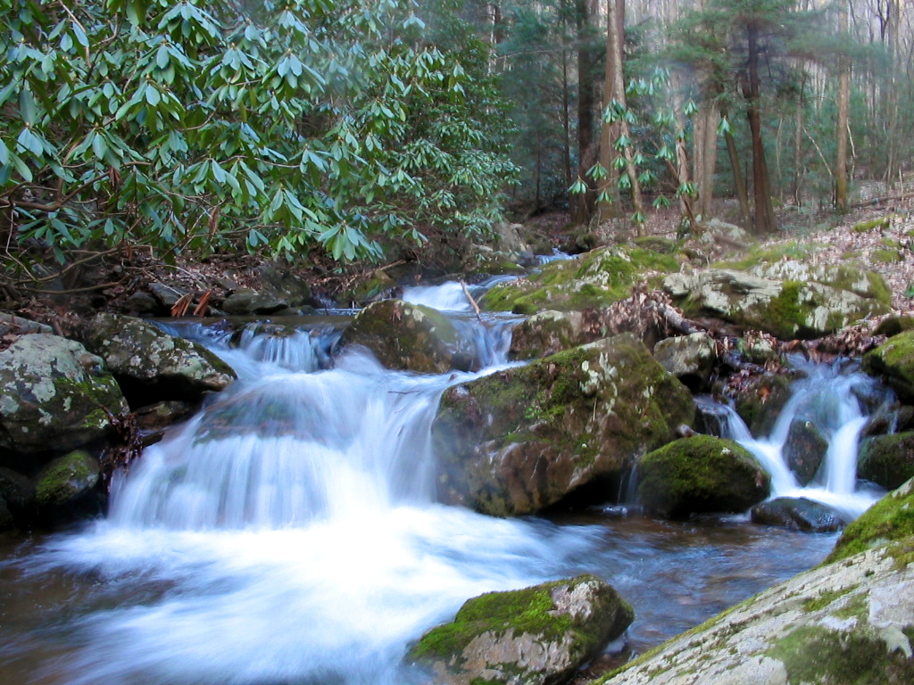
My
first stop was Pine Ridge Falls, which is on a side trail off of
the Long Arm Branch Trail (see here
for more photos and better directions). This is a short .8
mile hike (round trip), but the one stream crossing was more
difficult today than normal. I had to lay a log across the
stream and use my tripod to help me balance as I crossed so I
wouldn't get wet. |
|
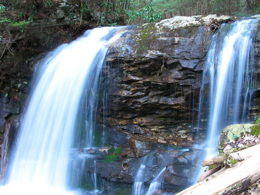
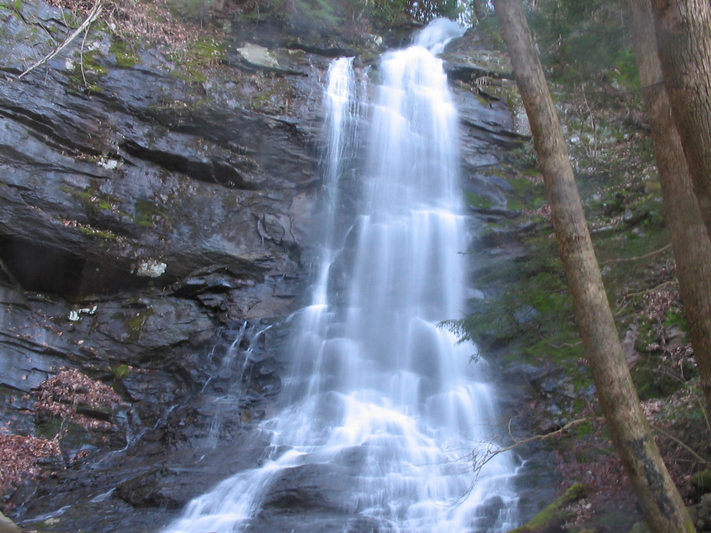
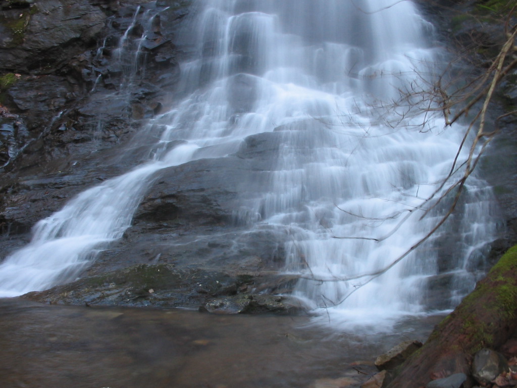
After returning to the Jeep, I
drove a couple of tenths of a mile down to the Sill Branch
Trailhead. This is CNF trail #115 (Sill Branch North...
more photos and directions here),
which is about one mile round trip on a nice trail. The
waterfall was beautiful today with lots of flow. I think
this is one of the most under-rated (unknown) waterfalls in east
Tennessee especially during wet conditions. It's very
nice. I've seen it listed it as 50 feet, but I think it's
more like 60 or 70.
I took a few photos and made my
way back to the Jeep... |
|
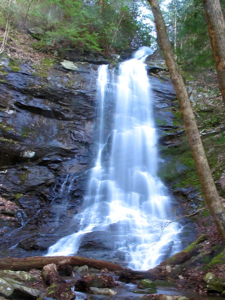
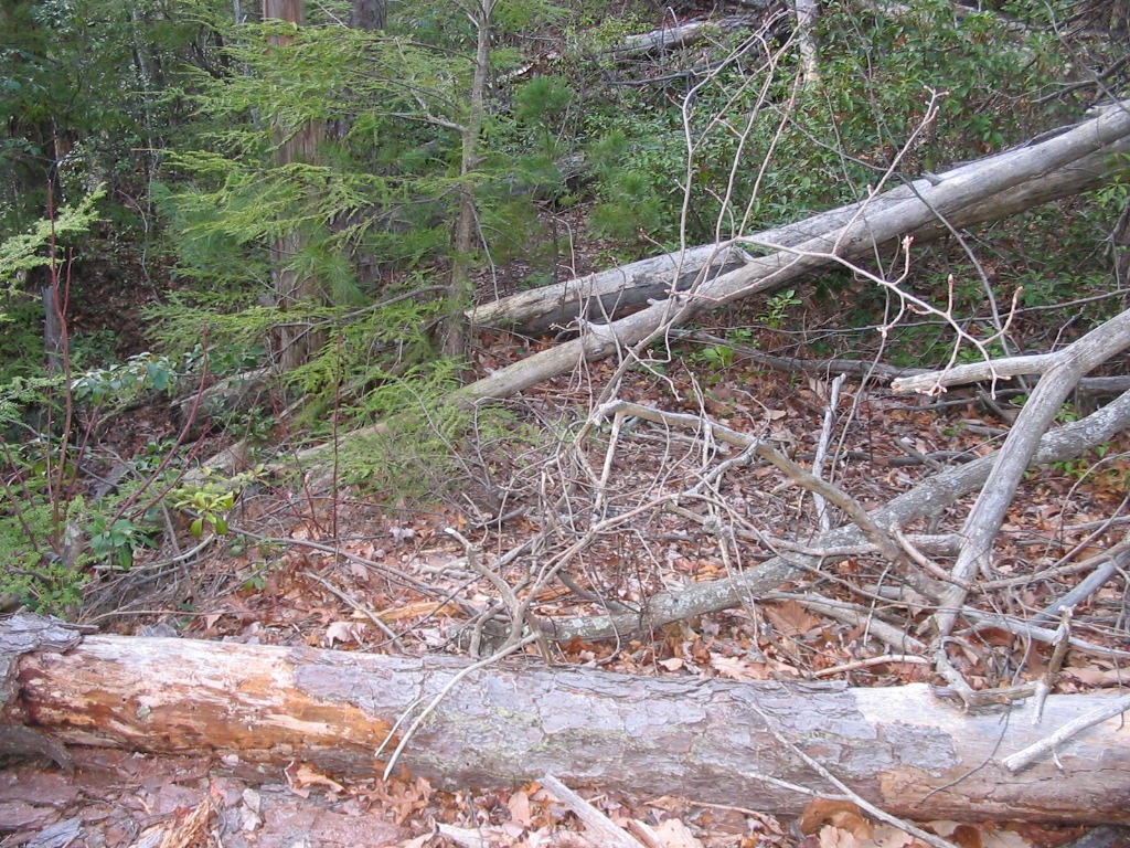
I
still had about an hour of daylight left so I drove about a half
mile down the road and found the Hell Hollow trailhead (CNF Trail
#124). First, let me say that this hollow is not aptly
named... it should have an adjective preceding such as
"Pure" or "Absolute"
Hell Hollow. Let me explain... The
trail started out well-blazed and maintained in the lower
sections, but after I forded the stream for the first time it made
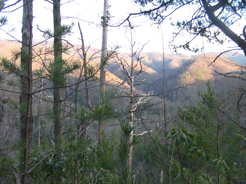
a very steep ascent up a ridge on Sampson Mountain. It was a
tough climb, and once near the top, the entire mountain side was
nothing but dead pines, which I think would be due to the Southern
Pine Beetle. These dead trees gave me nice views
toward Rich Mountain, but there were a tremendous amount of them that
were fallen across the trail (maybe due to the recent storms). I would guess that I crossed a
hundred or more blowdowns, and with many of them I had to get down
on my hands and knees to crawl under, and with others having to go
20 or 30 yards off-trail (in steep, rough conditions) to get
around and back on trail. It was very slow progress, but
eventually I started descending again where I found the
stream. The
"trail" at this point was more of a bushwhack than a
trail, and the blazes were very faint or non-existent. At
one point the only way to get up the trail was to walk about 50
feet directly up the middle of the stream. I was too tired
and in too big of a hurry to try to stay dry at this point so my
boots were filled with water. I thought surely I had to be
getting close to the falls, but I came upon an area that was
virtually impassable with the steam and thick underbrush.
Not to mention it was getting dark and I had bad thoughts about
trying to find my way back to the Jeep on this very faint
trail. So here I was, almost no daylight left... sweaty,
muddy, and soaking wet up to my knees... standing in the middle of
a creek with a bad cold... and no waterfall in sight. And
this is the one time I forgot to bring my GPS unit. I hated
to turn around, but I did. I got back to the Jeep a little
after dark. I
may try to find Hell Hollow Falls at some point again in the
future, but I think it'll be a while. |