|
Total
Miles Hiked: 0.6
Getting There:
Driving
- From I-26, take exit #32 (Unicoi). At the end of ramp turn
toward town. Then at the stop sign turn right onto Unicoi
Road. Proceed for 0.7 miles and turn left (at Jones
Hardware) onto Rt. 107 (Limestone Cove Road). Go 7.8 miles
and turn right on Red Fork Road. Go 6 miles and you'll see the
Stamping Ground Ridge Trailhead on your right. I didn't stop
here, but this would give you nice views to the east if you walk
down the trail (see here).
Keep driving another ~.5 mile and you'll see a small pull-off on
the right side of the road. This is Horseback Ridge.
Continue driving on approximately another mile and you'll come to an
intersection. Take a right and go up the hill on a very
rough road to the Unaka Mountain Overlook. Turn around,
drive back down the hill, and then stop at the intersection.
You'll see a faint trail right across the road leading to the
"flat rock" viewpoint. Continue driving on down the road
(forgot to do the mileage) until you see a road leading off the
the left. This goes to Beauty Spot. After leaving
Beauty Spot, take a left and continue on the road for another two
miles and you'll come to route 395 (Rock Creek Road). Take a
right and go 6.6 miles and you'll end up in Erwin, TN.
The
road across Unaka is gravel, but was in surprisingly very good
condition. I took my small car and made it without dragging
anywhere. The only rough spots were on the short access road
to the Unaka Mountain Overlook.
Trails
-
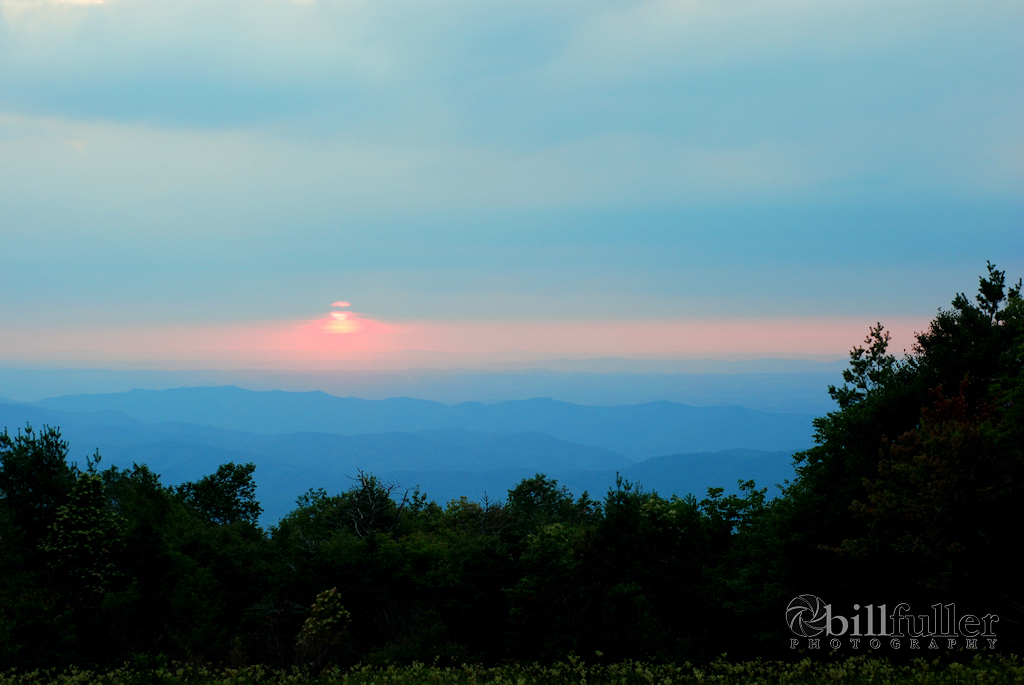
Horseback
Ridge: Simply follow the trail down the ridge for approximately
.1 mile. The views are breathtaking. The trail is in
good shape, and you can go a little further down if you work your
way through some Rhododendrons.
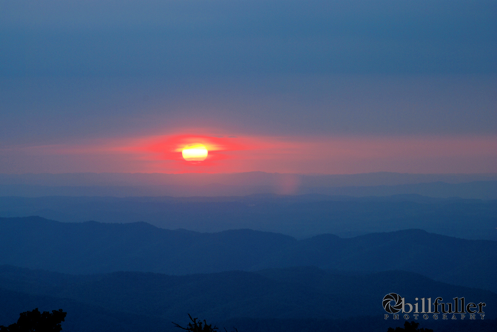
Unaka
Mountain Overlook: No trail here... just get out of the
car for great views.
"Flat
Rock" Overlook: I'm not sure of the real name of
this rock, but it's a very nice viewpoint. If you're coming
down the access road from the Unaka Mountain Overlook, stop at the
intersection and look directly across the road. You'll see a
very faint trail in the Rhododendrons. You'll have to work
you're way thru some thick underbrush here, but it a short hike to
get to the flat rock... probably just around 200 feet from the
road.
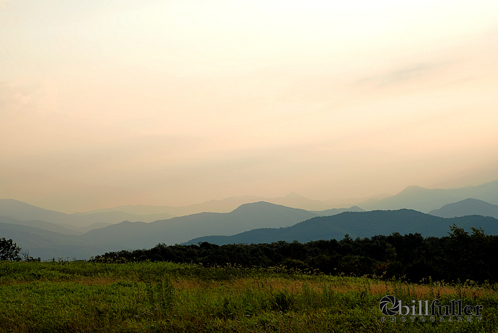
Beauty
Spot: There are some nice views here by just getting out
of the car, but go ahead and climb up the hill for a couple tenths
of a mile to the junction of the Appalachian Trail. It's
worth it because the views are much better from this vantage
point.
|